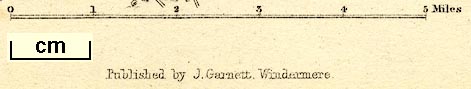
Map, Winander Mere, scale about 2.5 miles to 1 inch, published by John Garnett, Windermere, Westmorland, 1874. (Prior 1874 map 1)
Lakes Guides menu.
 Lakes Guides menu.