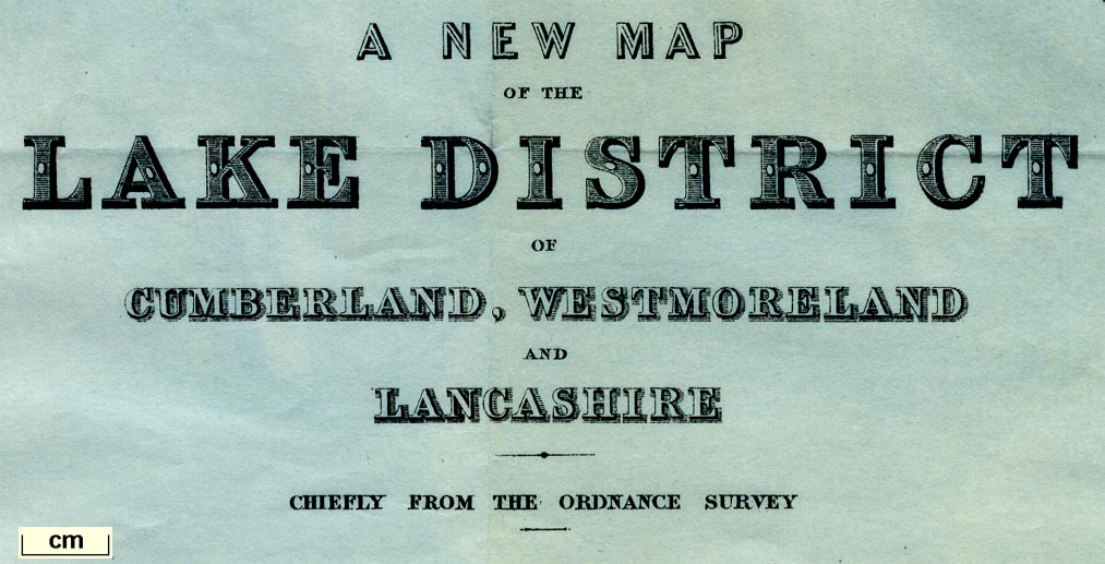
Map, 2 sheets, A New Map of the Lake District of Cumberland,
Westmoreland and Lancashire, scale about 2 miles to 1 inch,
by Stanford's Geographical Establishment from Ordnance
Survey data, published by John Murray, Albemarle Street,
London, edn 1889. (Murray 1889 map)
 Lakes Guides menu.