item:- Armitt Library : A1166.5
image:- © see bottom of page
 MUR5M4.jpg
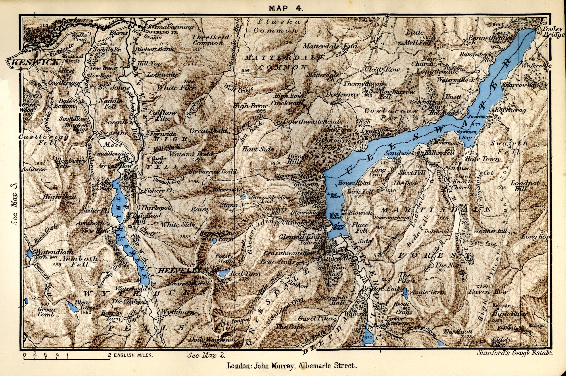
Map, colour printed lithograph, Thirlmere and Ullswater,
Cumberland and Westmorland, scale about 2 miles to 1 inch, by
Stanford's Geographical Establishment from Ordnance Survey data,
published by John Murray, Albemarle Street, London, edn 1889.
 Lakes Guides menu.