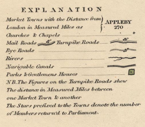
Maps, Westmorland, scale about 3 miles to 1 inch, and Cumberland, scale about 4.5 miles to 1 inch, by T L Murray by order of the Board of Ordnance, engraved by Hoare and Reeves, London, 1831. (Murray 1830)
Lakes Guides menu.
 Lakes Guides menu.