item:-
JandMN : 193.3
image:-
©
see bottom of page
MSN1M4.jpg
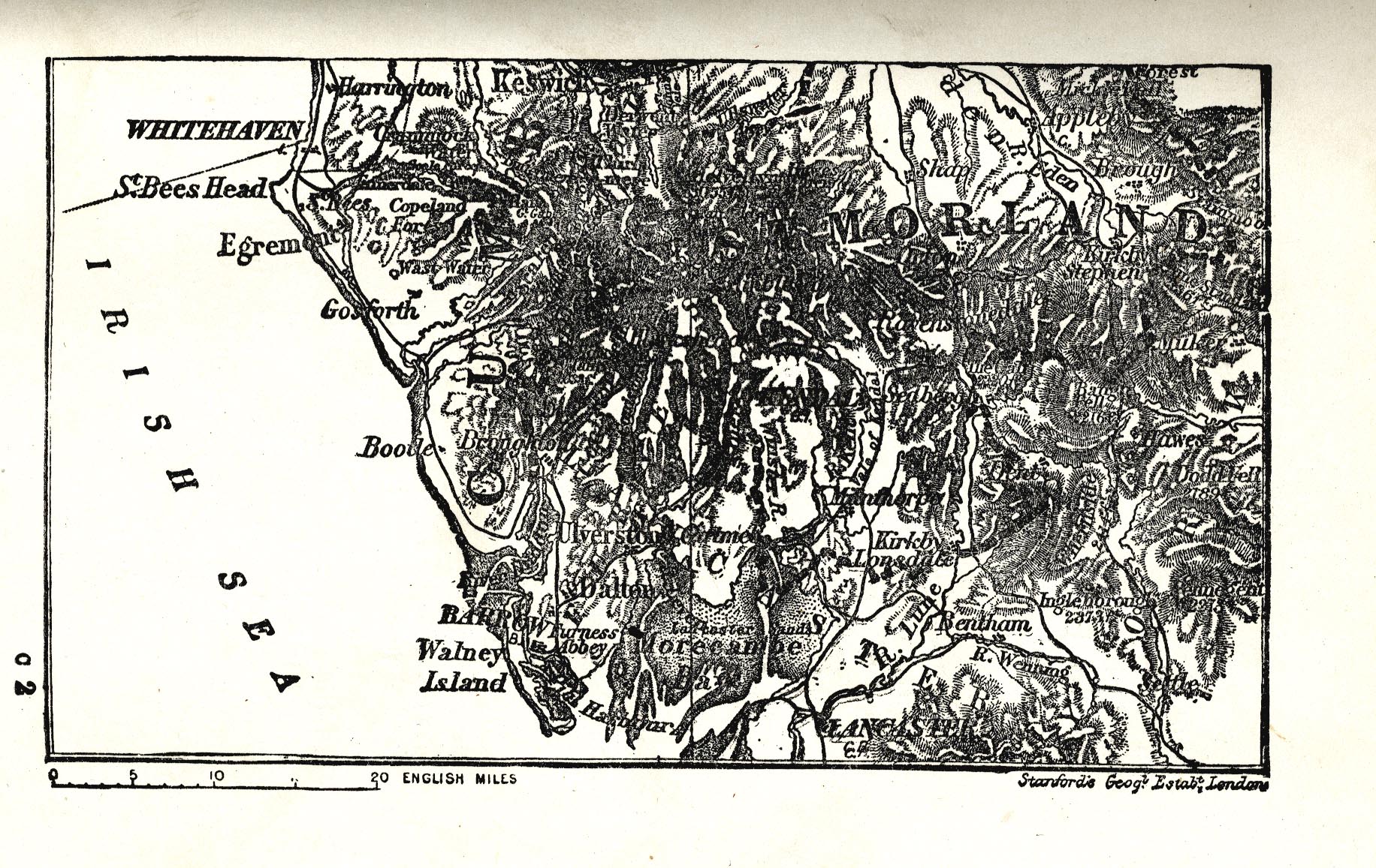
Map, uncoloured lithograph, Cumberland and Westmoreland, in two plates, scale about 14 miles to 1 inch, by Stanford's Geographical Establishment, London, 1907?
Lakes Guides menu.
 Lakes Guides menu.