item:-
JandMN : 193.2
image:-
©
see bottom of page
MSN1M2.jpg
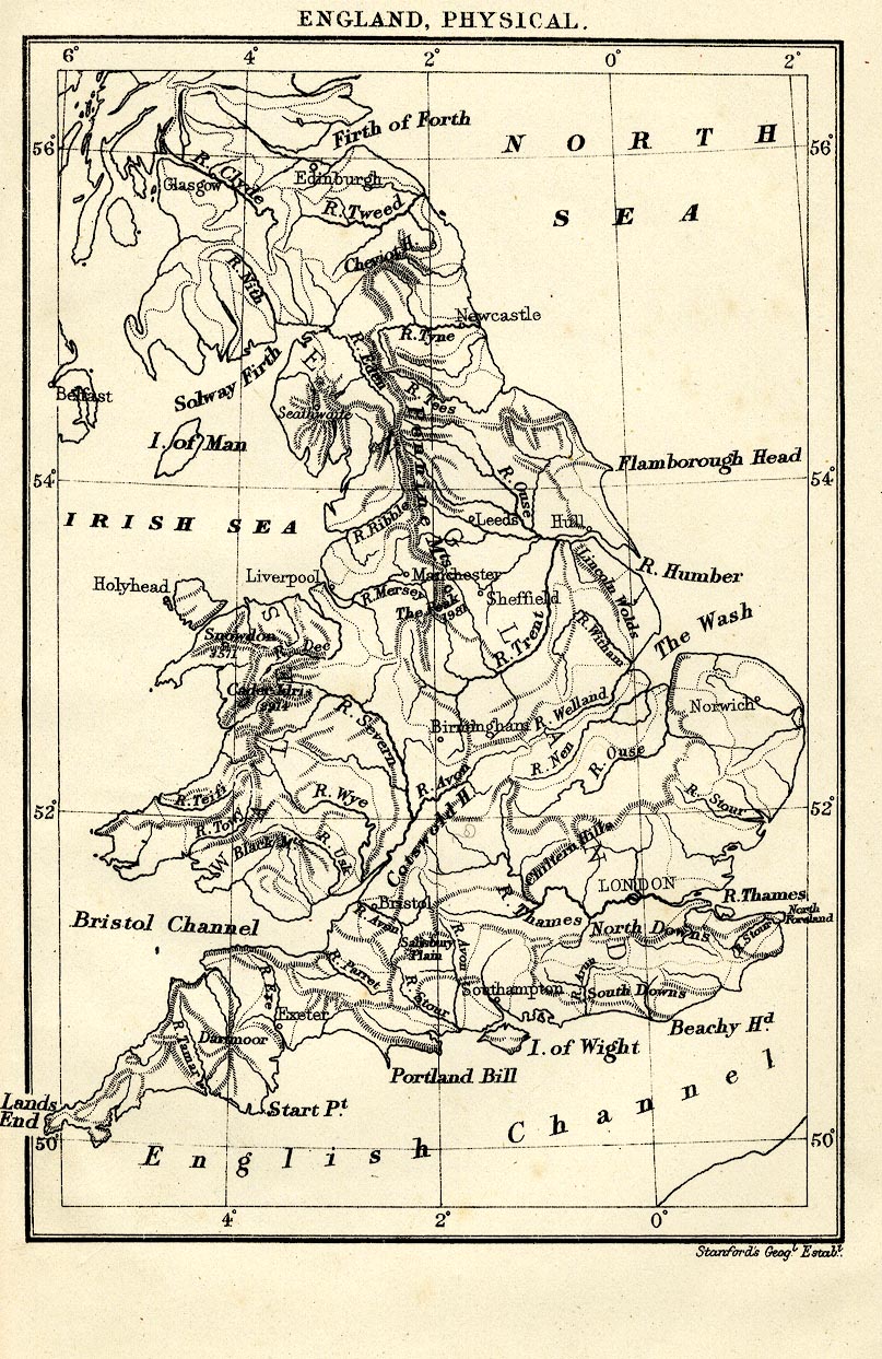
Map, uncoloured lithograph, England, Physical, including Wales, scale about 77 miles to 1 inch, by Stanford's Geographical Establishment, London, edn 1930.
Lakes Guides menu.
 Lakes Guides menu.