item:- JandMN : 193.1
image:- © see bottom of page
 MSN1M1.jpg
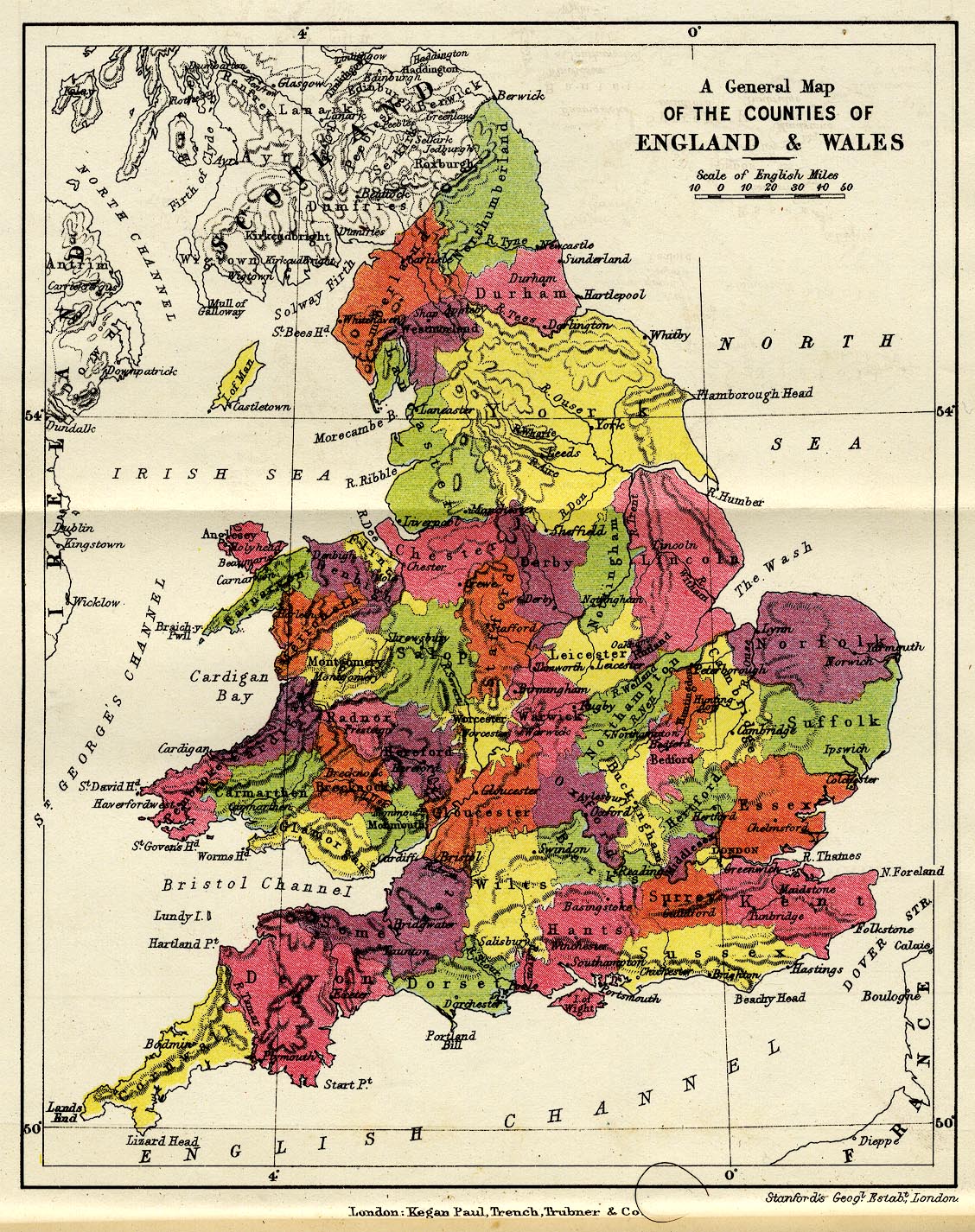
Map, colour lithograph, General Map of the Counties of England
and Wales, scale about 57 miles to 1 inch, by Stanford's
Geographical Establishment, London, published by Kegan Paul,
Trench, Trubner and Co, Broadway House, 68-74 Carter Lane,
London, edn 1930.
 Lakes Guides menu.