item:-
JandMN : 57
image:-
©
see bottom of page
MOG4.jpg
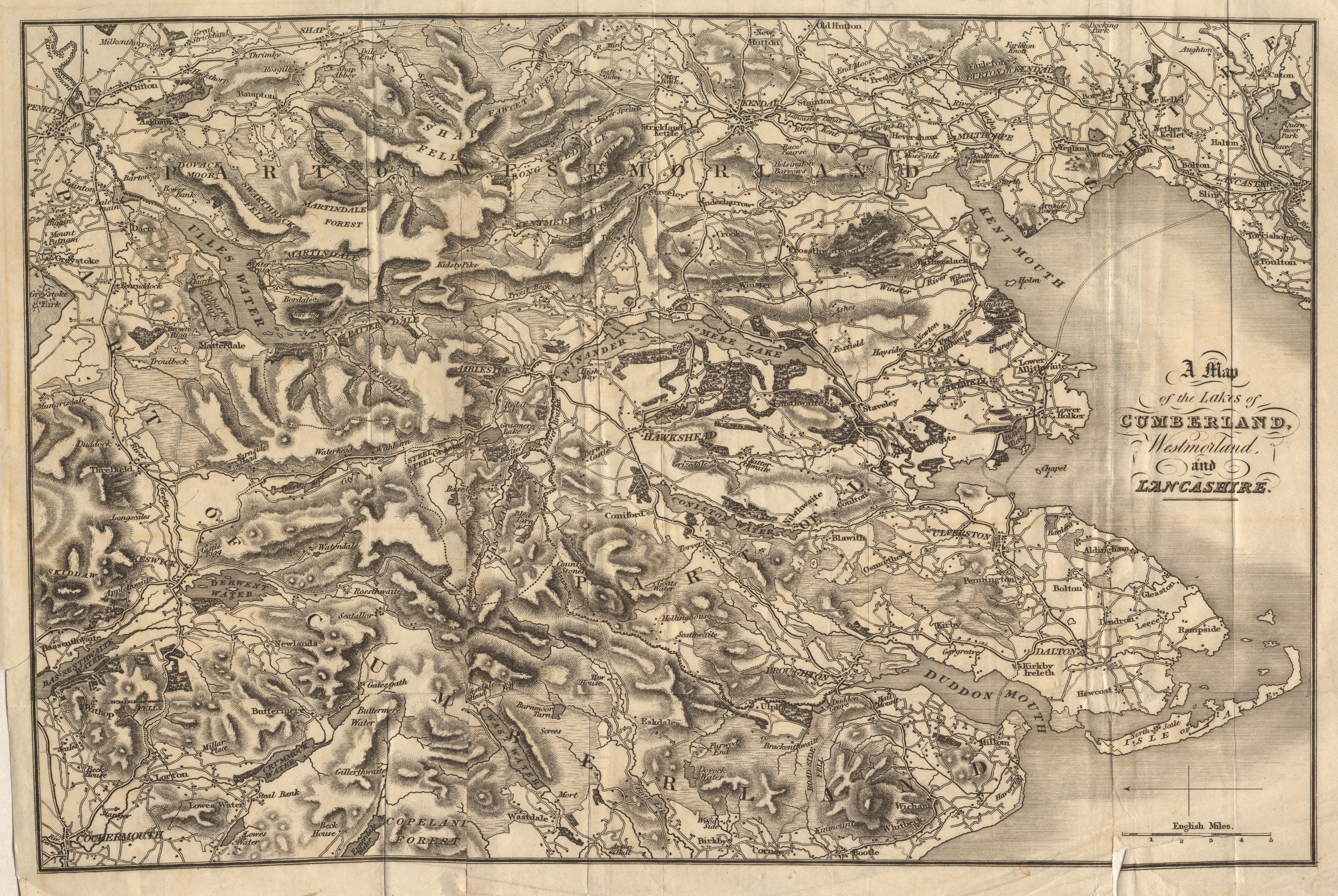
Map, uncoloured engraving, Map of the Lakes of Cumberland, Westmorland, and Lancashire, scale about 3.5 miles to 1 inch, perhaps by Edward Mogg, Charing Cross, London, 1822.
Lakes Guides menu.
 Lakes Guides menu.