item:-
Armitt Library : 2008.14.21
image:-
©
see bottom of page
MO10.jpg
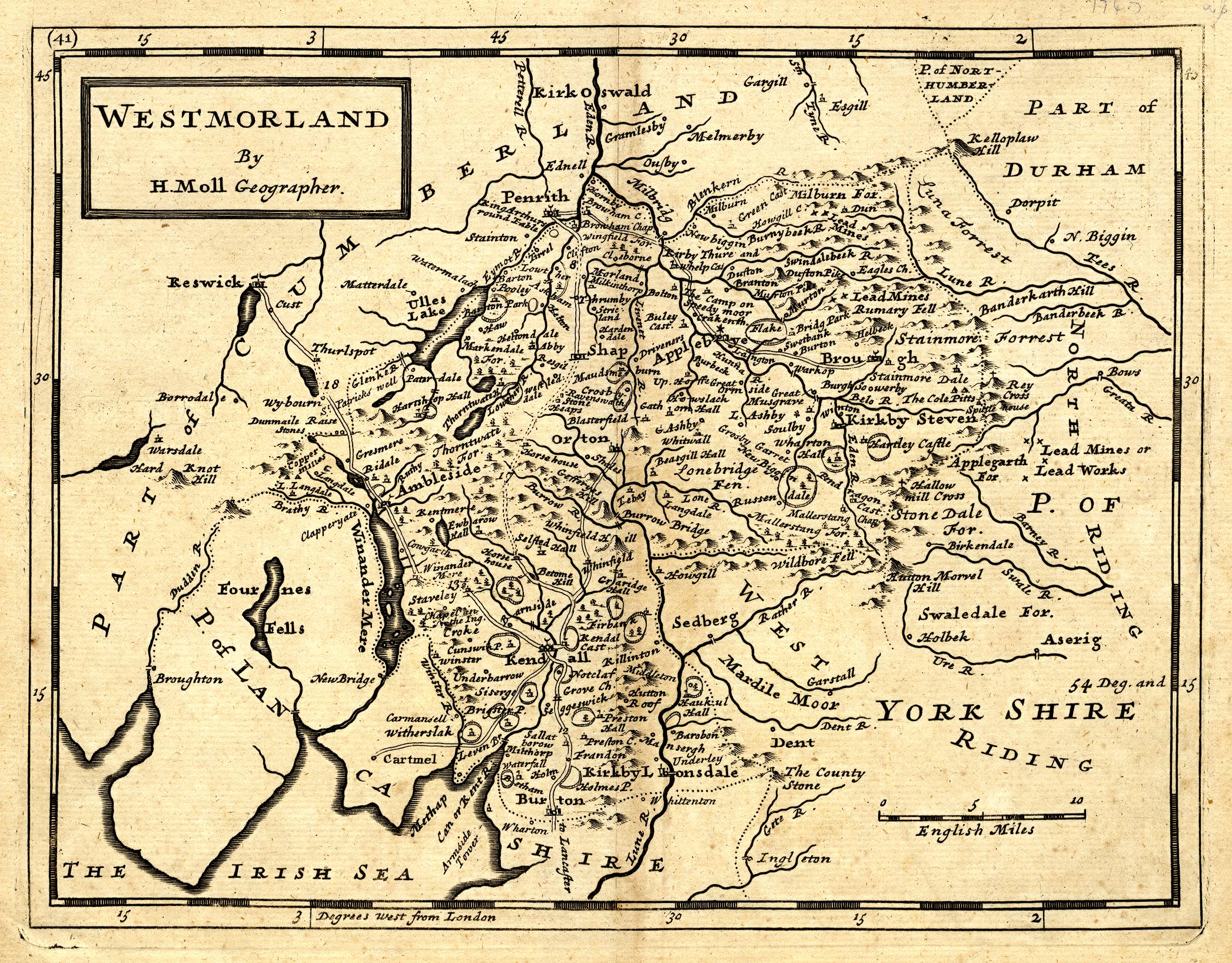
Map, uncoloured engraving, Westmorland, scale about 5.5 miles to 1 inch, by Herman Moll, London, about 1724, edn 1753.
Lakes Guides menu.
 MO10.jpg
 Lakes Guides menu.