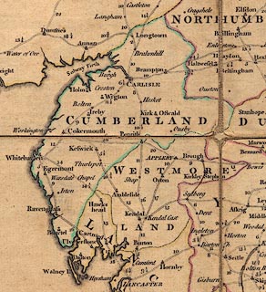
 Bowles 1773

|

|
|
|
item:- JandMN (453) image:- © see bottom of page |
click to enlarge |
|
|
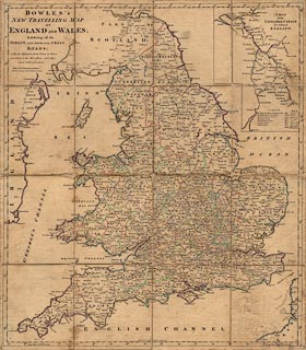
Map, partly coloured engraving, New Travelling Map of
England and Wales, scale about 25 miles to 1 inch, by
Carington Bowles, 69 St Paul's Church Yard, London, 1773.
Inset is A Map of the Navigable Canals now making in England. |
||

|
Bowles 1773 | |
| map feature:- | sectioned for folding & mounted & lat and long scales & up is N & sea plain & coast form lines & county & settlements & roads & road distances & canals | |
| inscription:- |
printed title, upper left
BOWLES'S / NEW TRAVELLING MAP / OF / ENGLAND AND WALES; Exhibiting all the / DIRECT, AND PRINCIPAL CROSS / ROADS; with the Distances from Town to Town / according to the Mile stones, and other / exact Admensurations. / Printed for CARINGTON BOWLES, / No.69 in St. Pauls Church Yard, LONDON. |
|
| inscription:- |
printed bottom
Published as the Act directs, 2 Jany. 1773. |
|
| wxh, sheet:- | 53.5x61cm | |
| wxh, map:- | 519x595mm | |
|
||
|
|
notes | |