 OS 1940s New Popular Edition

|

|
|
|
item:- JandMN (413_82) image:- © see bottom of page |
click to enlarge |
|
|
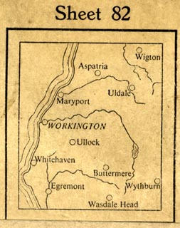
Map, OS One Inch New popular Edition sheet 82, Keswick,
scale 1 inch to 1 mile, published by the Ordnance Survey,
Southampton, Hampshire, 1947..
Revision 1920 with some corrections. |
||

|
OS 1940s New Popular Edition | |
| map feature:- | folded (6x4) & card cover & index map & location map & table of symbols & north point & magnetic deviation & scale line & lat and long scales & index grid (National Grid) & sea tinted & depth contours & coast line & rivers & lakes & relief & contours & spot heights & woods & forests & parks & county & parishes & settlements & roads (with Ministry of Transport numbering) & railways | |
| inscription:- |
printed cover
National Grid 82 / [royal coat of arms] GR / ORDNANCE SURVEY / New popular Edition / ONE-INCH MAP / of ENGLAND & WALES / KESWICK / Sheet 82 / First Published 1947 [location map] Revision Full 1920 with later corrections / Price (Paper) Four Shillings Net red and black on pale buff |
|
| scale line:- | 5+1 miles = 152.0 mm | |
| wxh, folded:- | 12.5x21cm | |
| scale:- | 1 to 63360 ? (nominal) | |