
JandMN (158)
image:-
© see bottom of page

click to enlarge
The road book includes - street maps, road maps, gazetteer, itineraries of routes each with a gradient diagram, advertisements, etc.
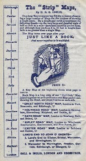
One of the advertisements describes a series of 'Strip' Maps, including a route from Land's End to John o' Groats which crosses Cumbria.

THE / 'CONTOUR' ROAD BOOK / OF / SCOTLAND / A Series of Elevation Plans of the Roads, / with Measurements and Descriptive / Letterpress. / BY HARRY R. G. INGLIS. / With 500 Diagrams and Maps. / / Edinburgh : / GALL AND INGLIS, 20 BERNARD TERRACE; / AND LONDON / 1899 / (Copyright.)
 Inglis 1898