 Greenwood 1824

|

|
|

|
detail menu | |
|
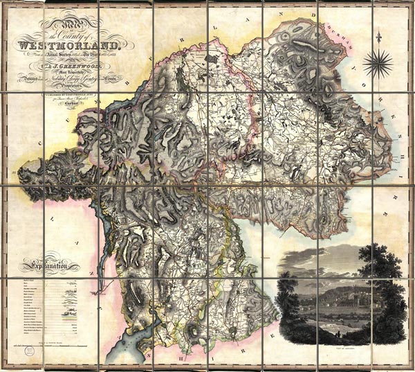
Map, hand coloured engraving, Map of the County of
Westmorland, scale about 1 inch to 1 mile, by C and J
Greenwood, published by George Pringle jnr, 70 Queen Street,
Cheapside, London, 1824.
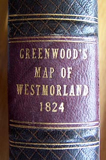
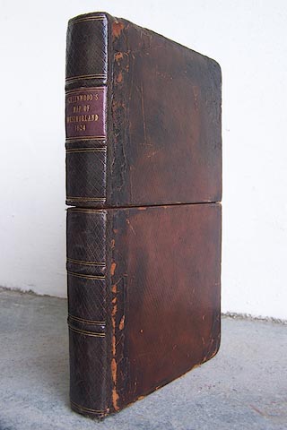
The map is sectioned for folding, mounted and folded in a slip case. |
||
|
|
Greenwood 1824 | |
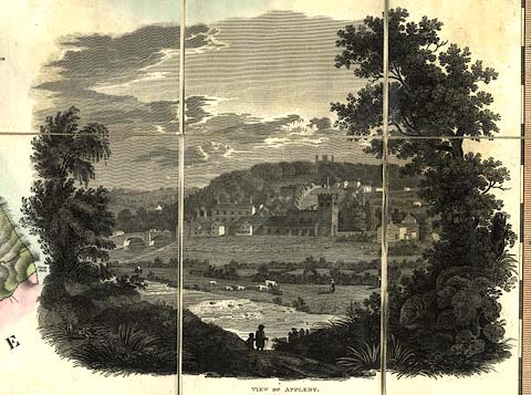
| map feature:- | sectioned for folding (8x4 pieces) & mounted & folded & slip case (like a leather full bound book) & vignettes (lower right, VIEW OF APPLEBY) & table of symbols & compass rose & up is N & scale line & lat and long scales (trapezoid projection, includes 2d 7m to 3d 11m W, 54d 10m to 54d 43m N) & sea plain & coast form lines & rivers & lakes & relief & hill hachuring (fairly successful impression of the shape of the county) & woods & forests & parks & county & wards (hundreds) & settlements & roads & turnpike roads & road distances & canals | |
| inscription:- |
printed upper left
MAP / OF / the County of / WESTMORLAND, / from an Actual Survey Made in the Years 1822 & 1823 / By / C. & J. GREENWOOD. / Most Respectfully / Dedicated TO THE Nobility, Clergy & Gentry OF THE County. / BY THE / Proprietors. / PUBLISHED BY GEOE. PRINGLE JNR. / 70 Queen Street, Cheapside, / London. / January 1st. 1824. |
|
| inscription:- |
printed above scale line
SCALE OF STATUTE MILES. |
|
| scale line:- | 7+1 miles = 197.5 mm (approx) | |
| inscription:- |
printed bottom border
West Longitude from Greenwich |
|
| longitude, Kendal:- | 2d 44.75m W | |
| wxh, folded:- | 15x25.5cm | |
| wxhxd, slip case:- | 18.5x25.5x3.5cm | |
| wxh, sheet:- | 120.5x101cm | |
| wxh, map (including gaps):- | 1134x997mm | |
| scale:- | 1 to 65000 ? (1 to 65188 from scale line assuming a statute mile) | |
|
||
|
||
|
||
|
||