item:- Carlisle Library : Map 352
image:- © Carlisle Library
 LO01.jpg
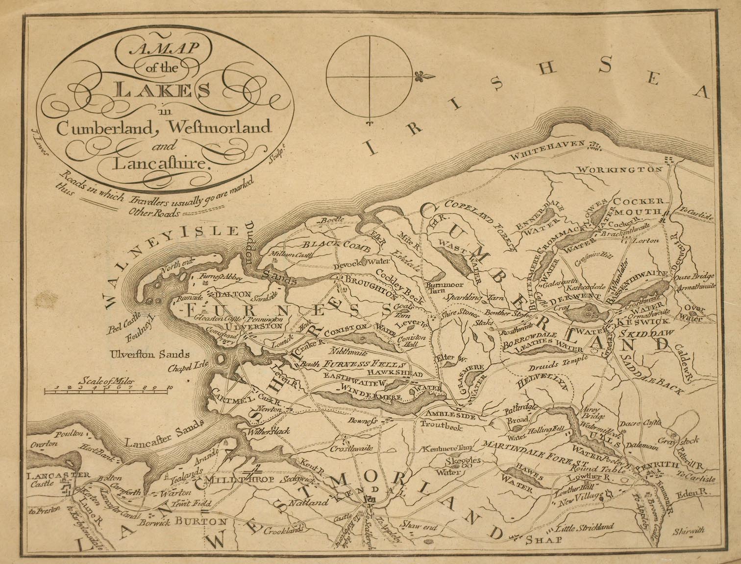
Map, uncoloured engraving, A Map of the Lakes in Cumberland,
Westmorland and Lancashire, engraved by James Lowes, scale about
7.5 miles to 1 inch, probably about 1800.
 Lakes Guides menu.