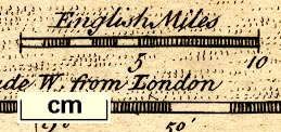
Map of Westmoreland, scale about 9 miles to 1 inch, and Cumberland? by Thomas Kitchin and Thomas Jefferys, 1748, published 1748-85. (Kitchin and Jefferys 1748)
Lakes Guides menu.
 Lakes Guides menu.