item:-
Armitt Library : 2008.14.30
image:-
©
see bottom of page
KJ01.jpg
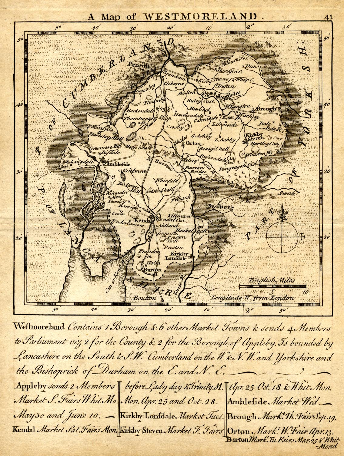
Map, uncoloured engraving, Westmoreland, scale about 12 miles to 1 inch, by Thomas Kitchin and Thomas Jefferys, 1748, published 1748-85.
Lakes Guides menu.
 Lakes Guides menu.