Maps, table 3 - Westmorland, Castria, Cestria etc, and table
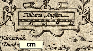
2 - Northumbria, Cumberlandia, Dunelm Episcopi, scales
roughly 20 miles to 1 inch, engraved in reduced versions by
Jodocus Hondius about 1607 from the maps of Gerard Mercator
1595; published 1608-1621, re-engravd by Peter Keer,
published 1620s-40s. (Hondius 1607)
 Lakes Guides menu.