item:- private collection : 68
image:- © see bottom of page
 HOG2.jpg
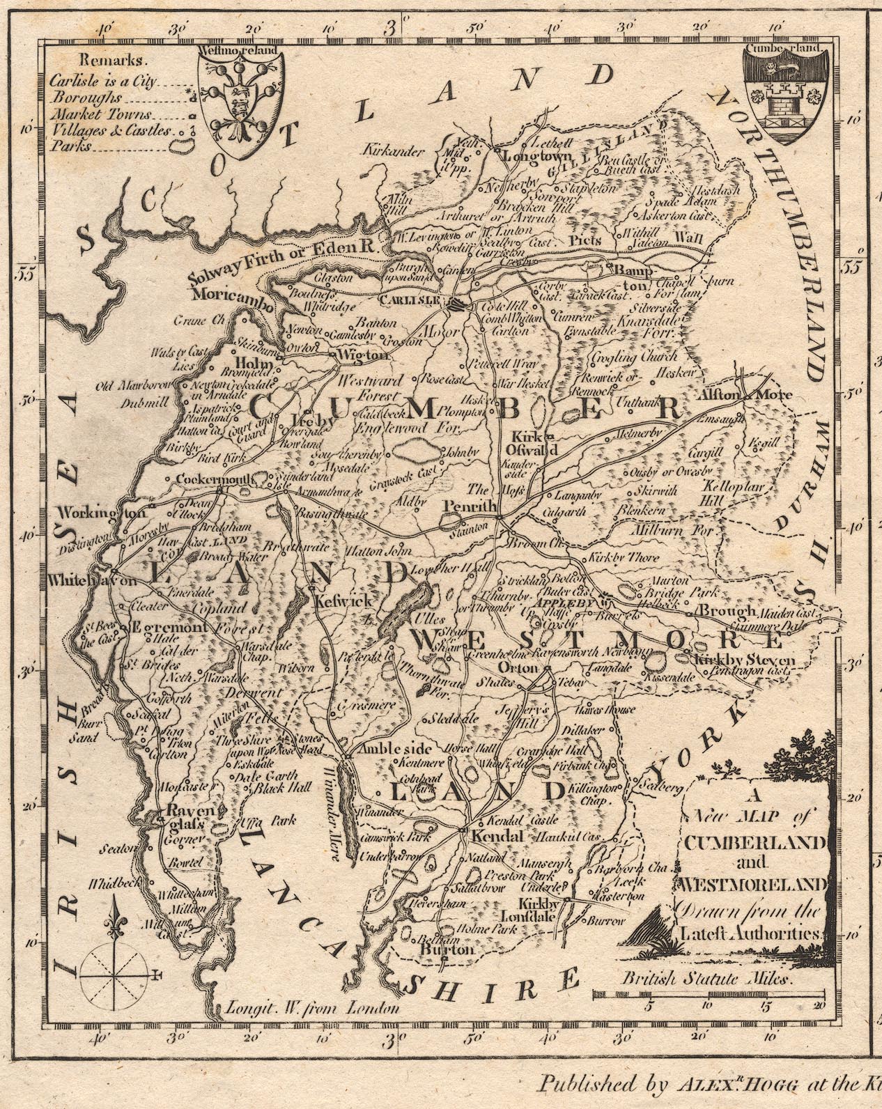
Map, uncoloured engraving, A New Map of Cumberland and
Westmoreland (Northumberland on the same sheet), scale about 12
miles to 1 inch, engraved by T Conder, published by Alexander
Hogg, the Kings Arms, 16 Paternoster Row, London, 1784.
 Lakes Guides menu.