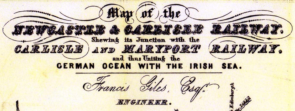
Railway map, Map of the Newcastle and Carlisle Railway, and
Maryport and Carlisle Railway, scale about 6.5 miles to 1
inch, by Francis Giles, engineer, published by Hudson Scott,
Carlisle, Cumberland, and by Currie and Bowman, Newcastle
upon Tyne, Northumberland, 1837. (Giles 1837)
 Lakes Guides menu.