item:- JandMN : 149.5
image:- © see bottom of page
 GAR6M2.jpg
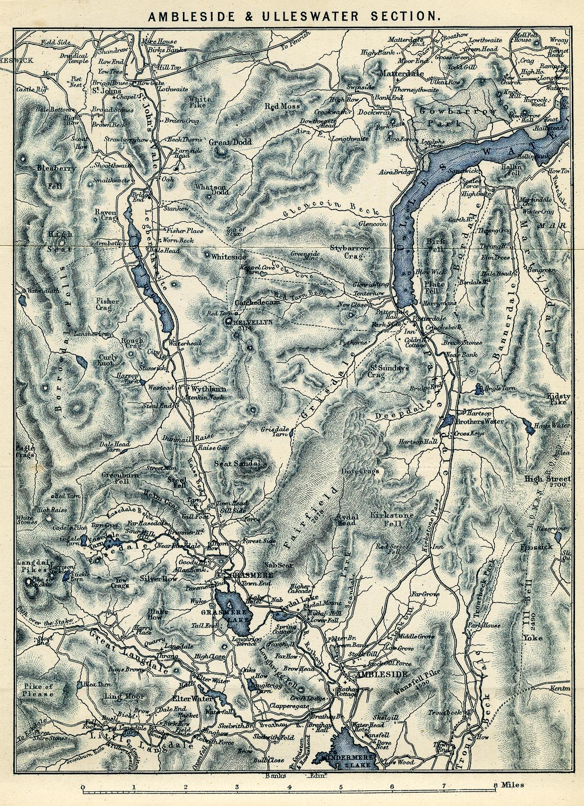
Map, blue engraving, Ambleside and Ullswater Section, scale
about 2 miles to 1 inch, engraved by William Banks, Edinburgh,
published by John Garnett, Windermere, Westmorland, and by
Simpkin, Marshall and Co, London, 2nd edn 1860s?
 Lakes Guides menu.