item:- JandMN : 191.1
image:- © see bottom of page
 CRU6.jpg
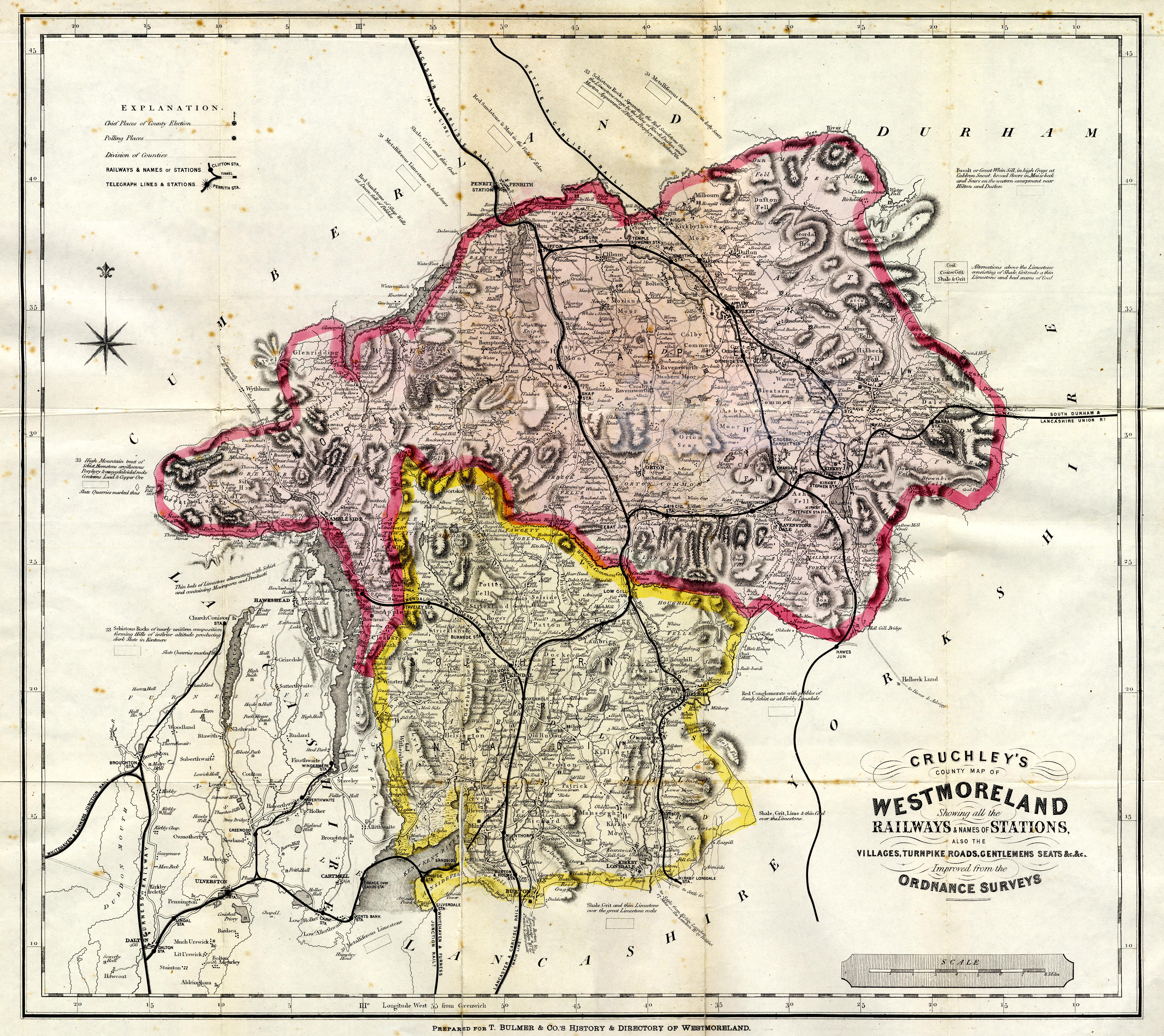
Map, coloured lithograph, Cruchley's County Map of Westmoreland,
scale about 2.5 miles to 1 inch, by George F Cruchley, London,
1856 and 1885, published by T Bulmer and Co, Manchester and T
Snape, Preston, Lancashire, 1885.
 Lakes Guides menu.