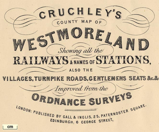
Maps, Cruchley's County Map of Westmoreland, scale about 2.5 miles to 1 inch, and of Cumberland, scale about 6.5 miles to 1 inch, by George F Cruchley, 81 Fleet Street, London, 1856; published 1856 to about 1885. (Cruchley 1856)
Lakes Guides menu.
 Lakes Guides menu.