item:- JandMN : 16
image:- © see bottom of page
 CRU2.jpg
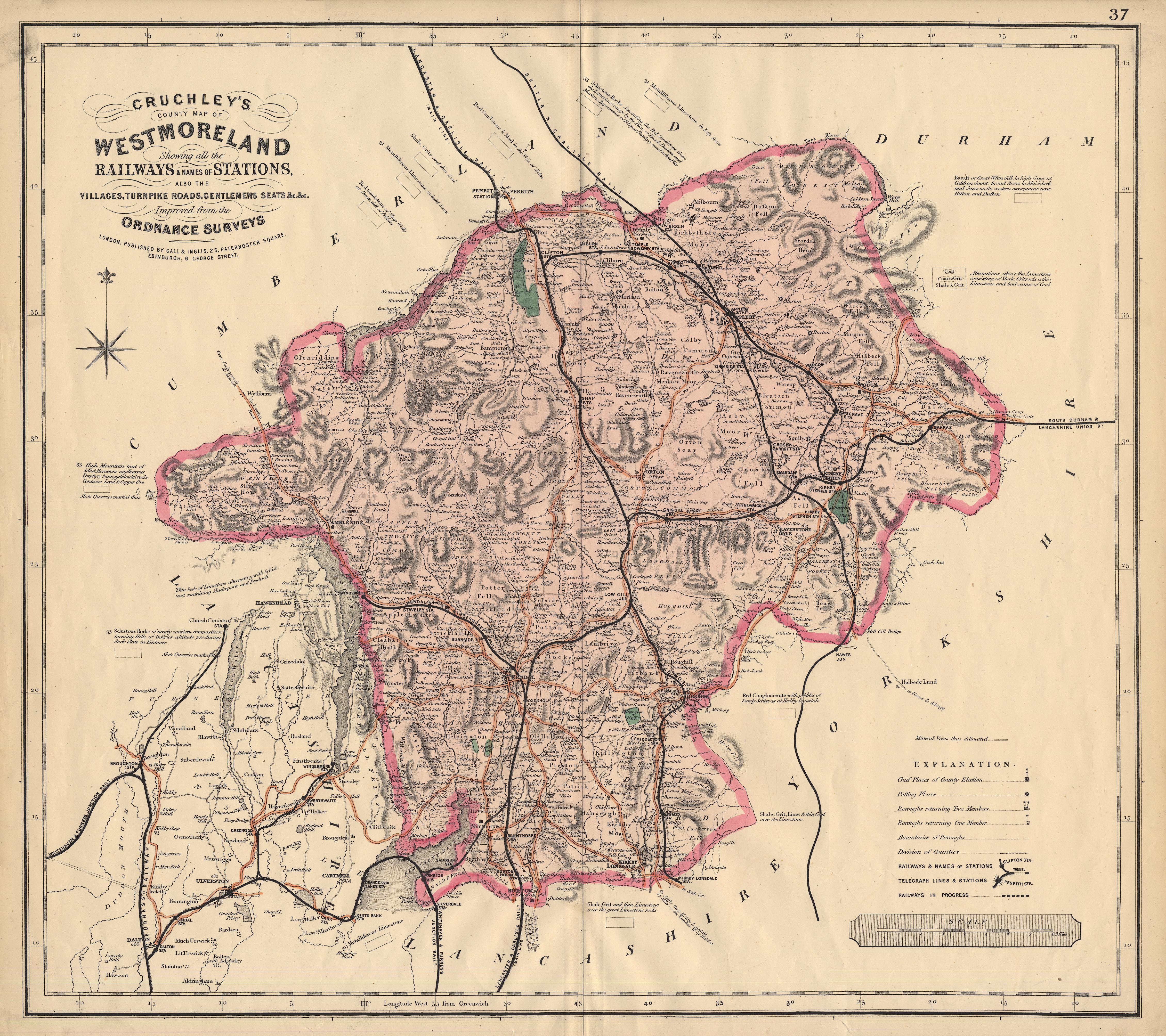
Map, coloured lithograph, Cruchley's County Map of Westmoreland,
scale about 2.5 miles to 1 inch, by George F Cruchley, 81 Fleet
Street, London, 1856, published by Gall and Inglis, 25
Paternoster Square, London and George Street, Edinburgh, about
1882?
 Lakes Guides menu.