item:- private collection : 11
image:- © see bottom of page
 Cow2.jpg
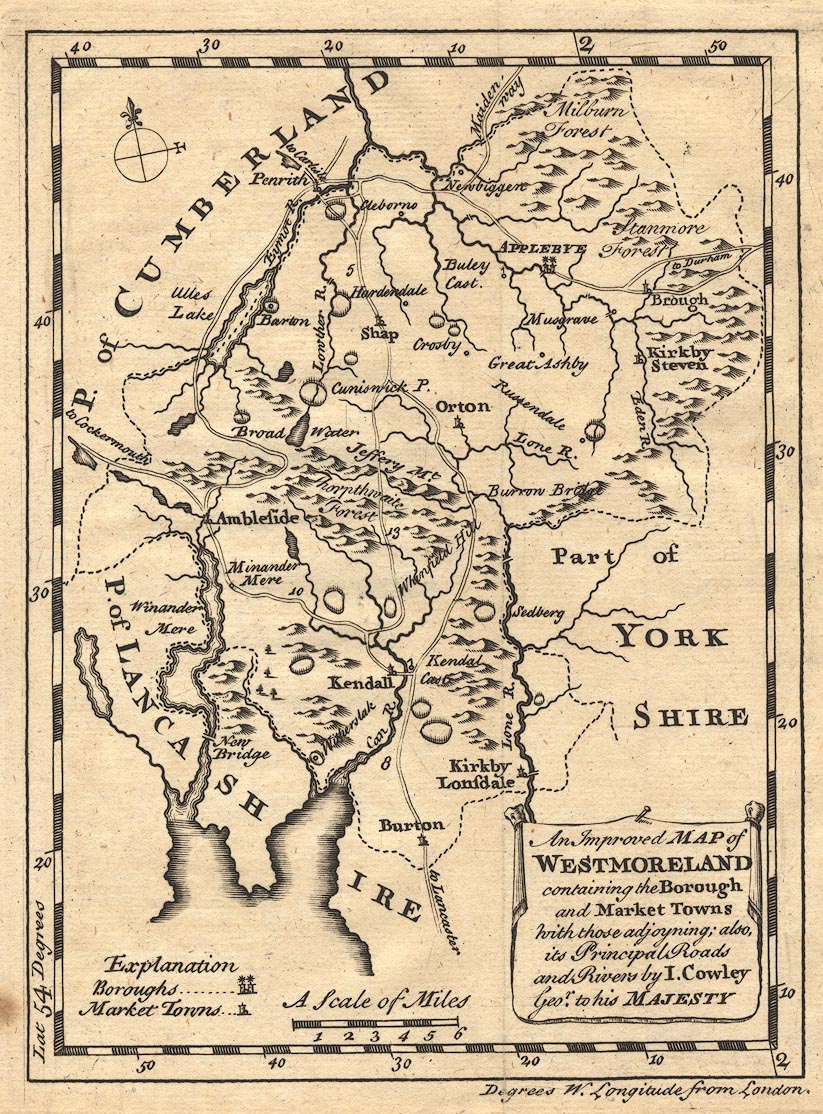
Map, uncoloured engraving, Improved Map of Westmoreland, ie
Westmorland, scale about 5.5 miles to 1 inch, by J Cowley,
London, probably published in a Geography of England, by Robert
Dodsley, The Tully's Head, Pall Mall, London, 1744-45.
 Lakes Guides menu.