item:-
JandMN : 2
image:-
©
see bottom of page
COP2.jpg
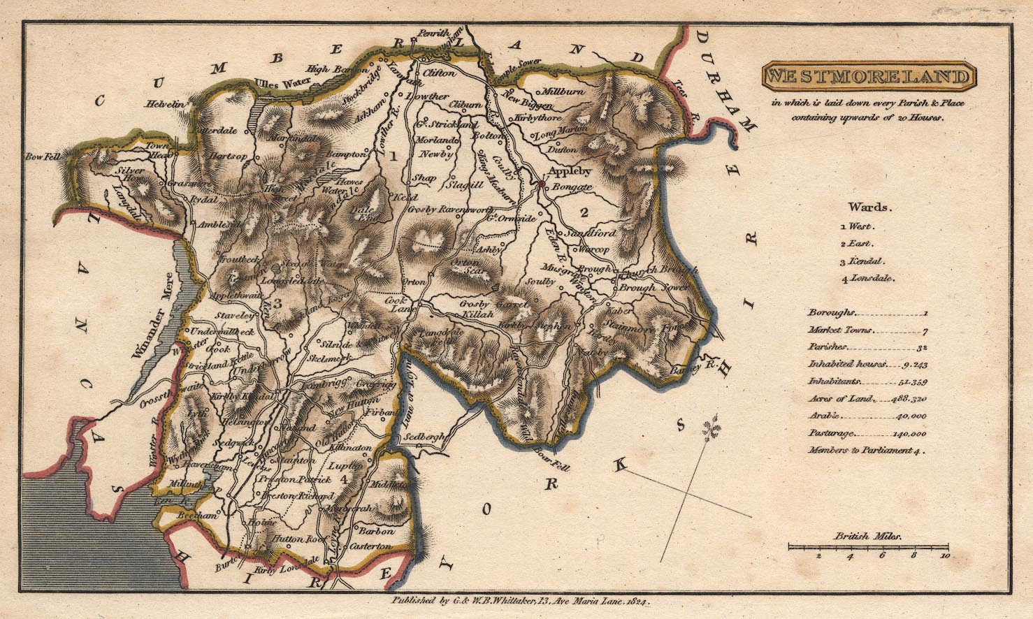
Map, hand coloured engraving, Westmoreland ie Westmorland, scale about 9 miles to 1 inch, by H Cooper, 1808, published by G and W B Whittaker, 13 Ave Maria Lane, London, 1824.
Lakes Guides menu.
 Lakes Guides menu.