item:-
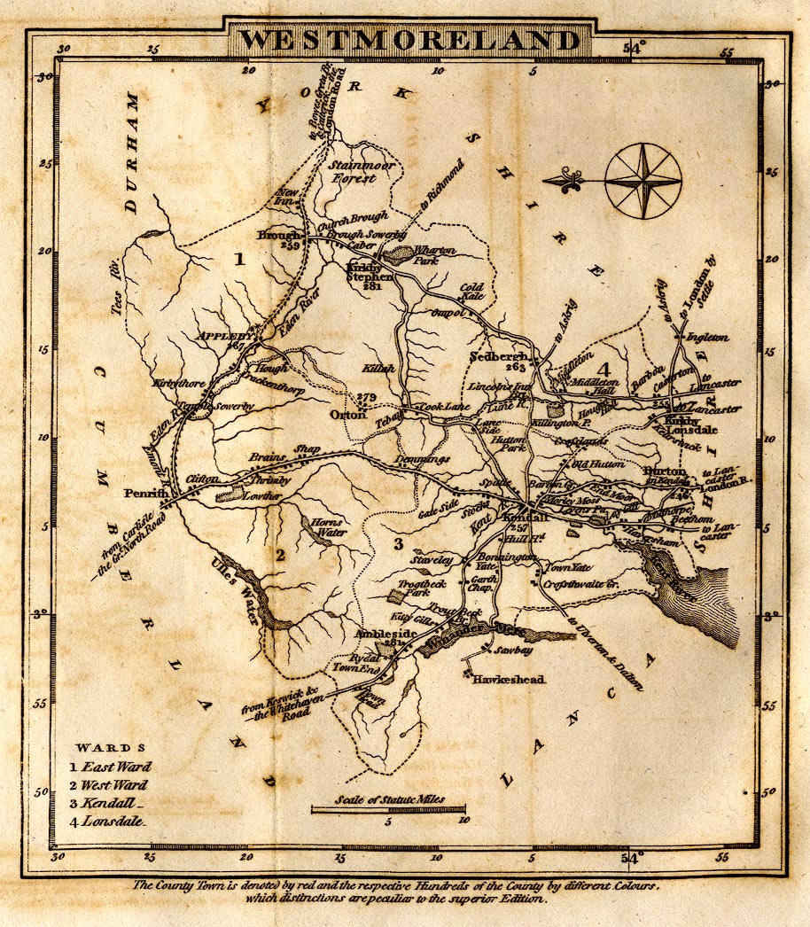
Armitt Library : A1367.1
image:-
©
see bottom of page
COK9.jpg
Road map, uncoloured engraving, Westmoreland, scale about 11.5 miles to 1 inch, published by George Alexander Cooke, 17 Paternoster Row, London, 1803-10.
Lakes Guides menu.
 Lakes Guides menu.