item:-
JandMN : 234
image:-
©
see bottom of page
CN10.jpg
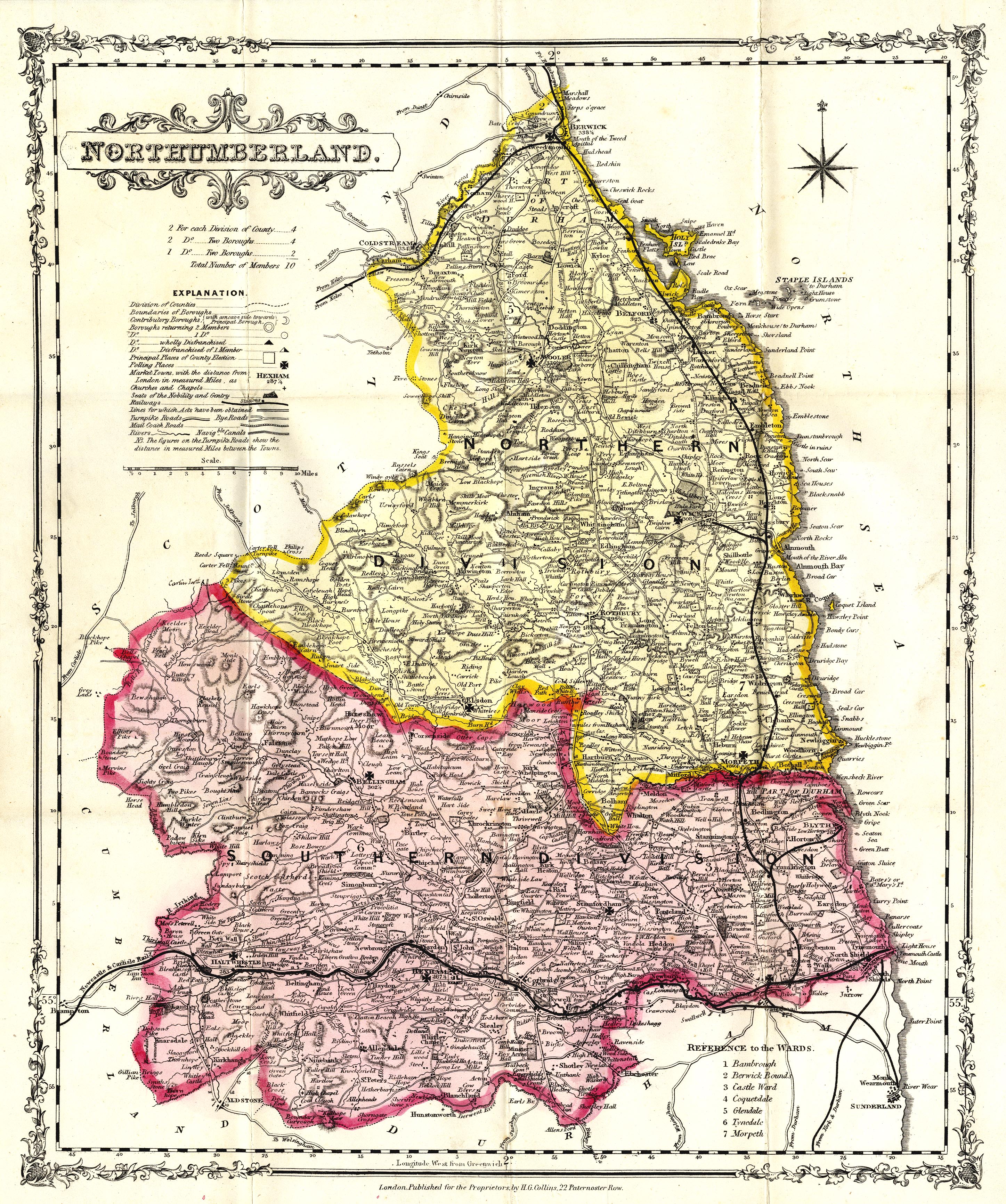
Railway map, coloured lithograph, Northumberland with its Railways, scale about 4.5 miles to 1 inch, published by H G Collins, 22 Paternoster Row, London, about 1849-52.
Lakes Guides menu.
 Lakes Guides menu.