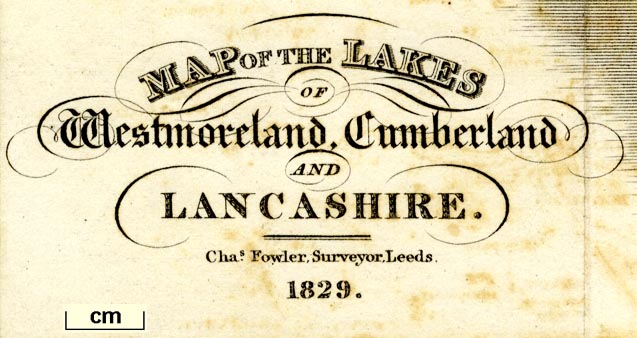
Map of the Lakes of Westmoreland, Cumberland and Lancashire, scale about 4 miles to 1 inch, by/for Edward Baines, engraved by W H Lizars, Edinburgh, published by Hurst, Chance and Co, London et al, 1830. (Baines 1829 map)
Lakes Guides menu.
 Lakes Guides menu.