item:- Armitt Library : A1107.1
image:- © see bottom of page
 BS07.jpg
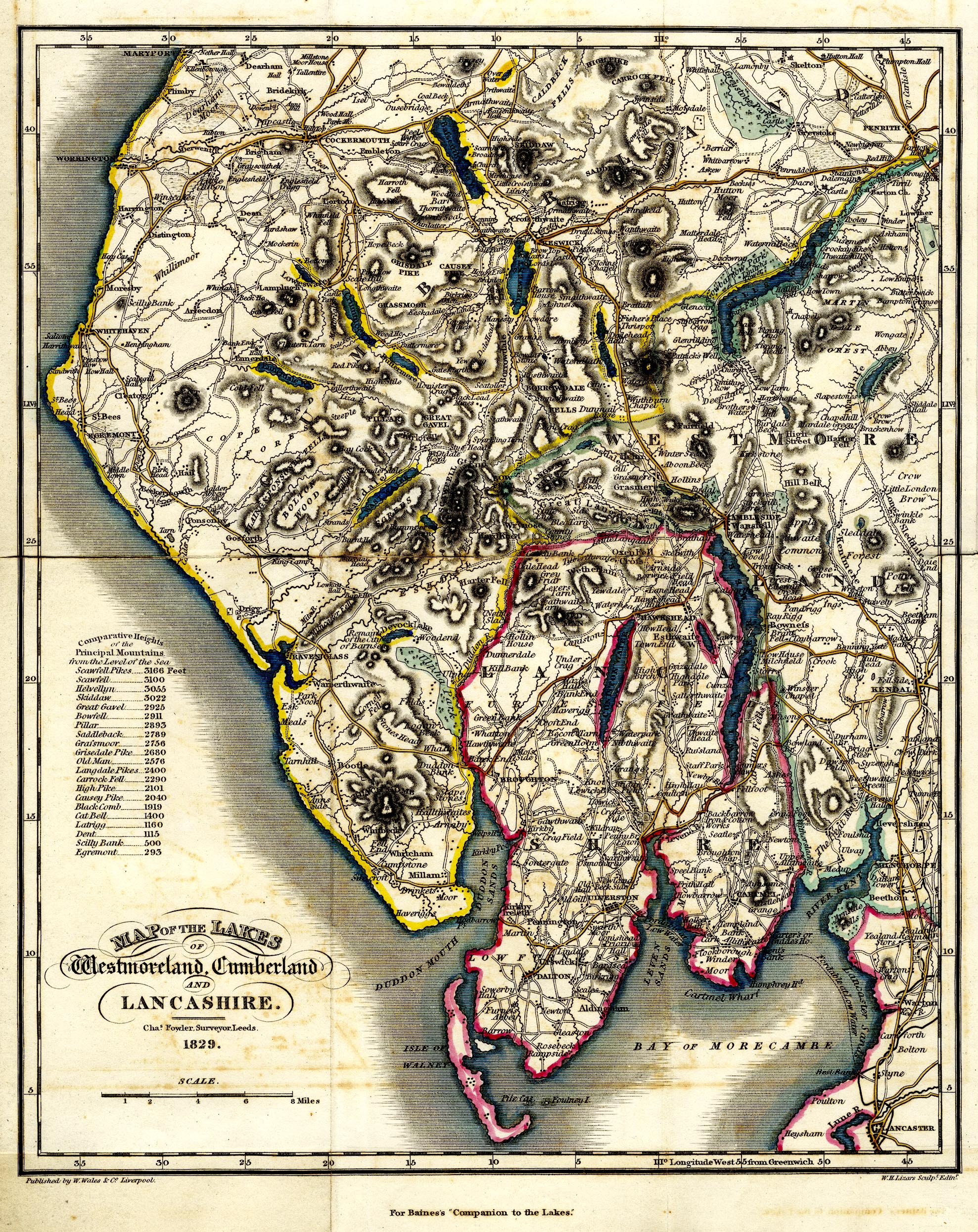
Map, hand coloured engraving, Map of the Lakes of Westmoreland,
Cumberland and Lancashire, scale about 4 miles to 1 inch, by
Charles Fowler, Leeds, engraved by W H Lizars, Edinburgh,
published by W Wales and Co, Liverpool,Lancashire, 1829.
 Lakes Guides menu.