item:- Armitt Library : 2008.14.38
image:- © see bottom of page
 BM12.jpg
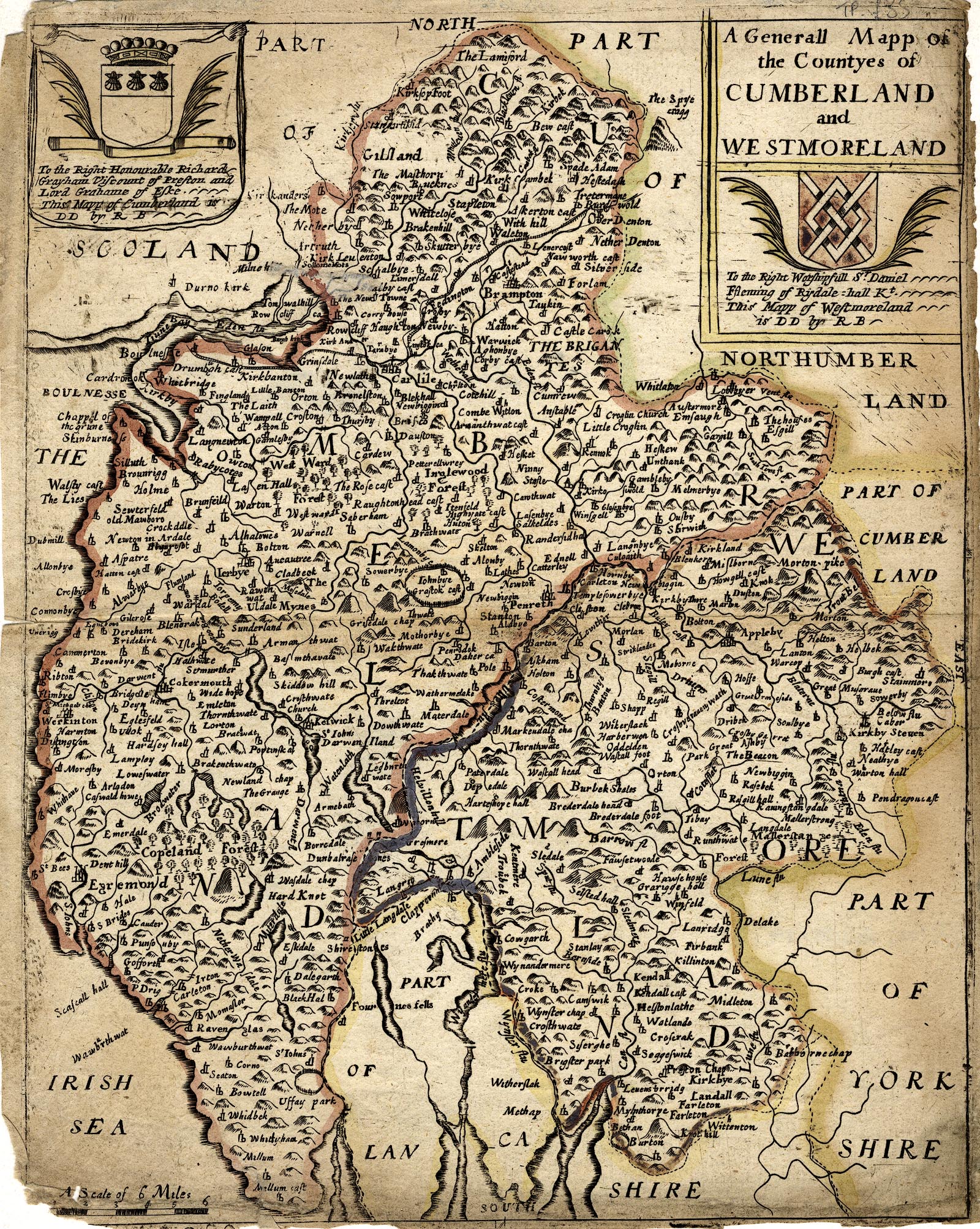
Map, hand coloured engraving, A Generall Mapp of the Countyes of
Cumberland and Westmoreland ie Westmorland, scale about 4 miles
to 1 inch, derived from Speed 1611, by Richard Blome, engraved
by Richard Palmer, published 1681.
 Lakes Guides menu.