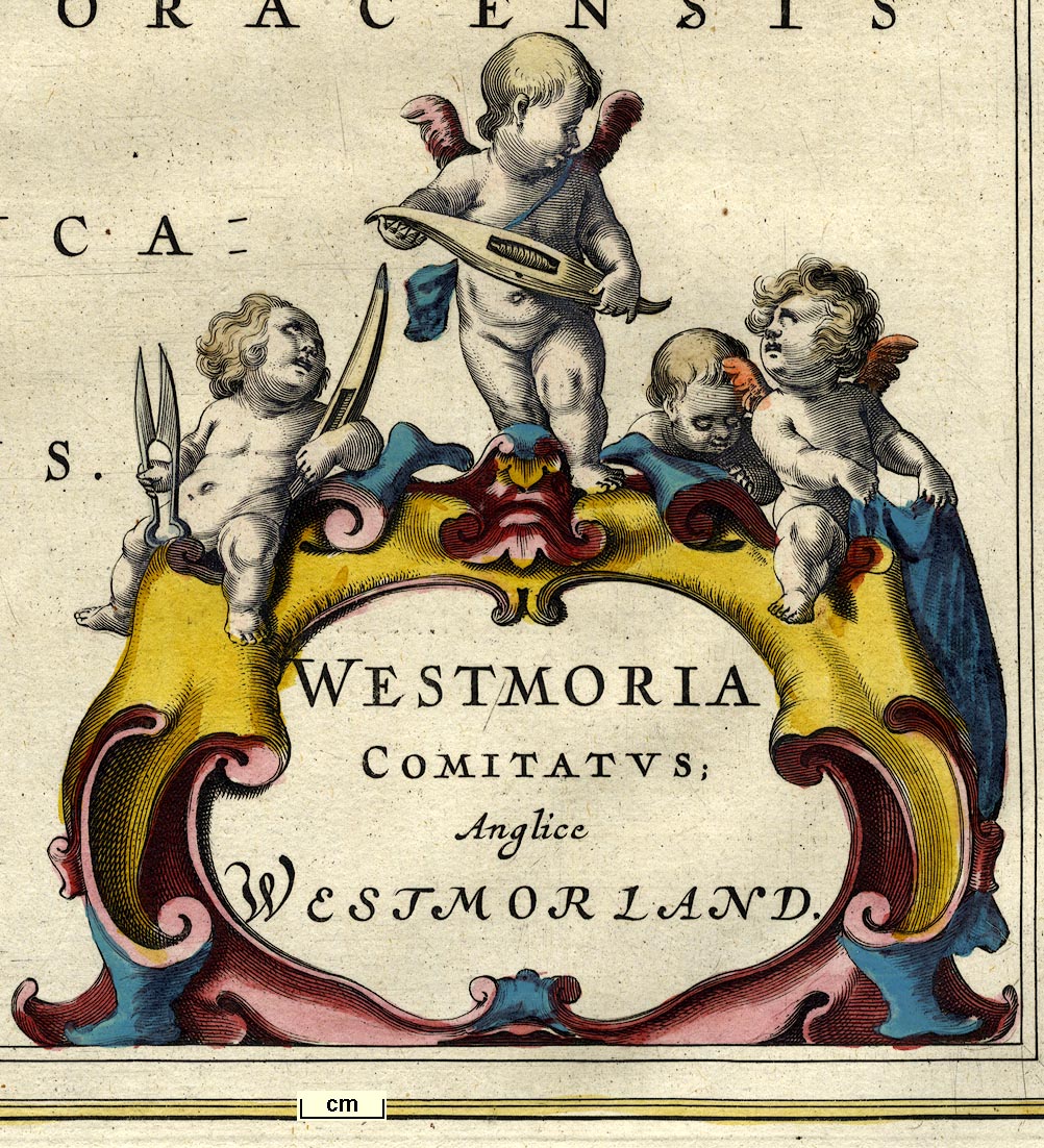
Maps, Westmoria Comitatus or Westmorland, scale about 2.5 miles to 1 inch, and Cumbria or Cumberland, scale about 3.5 miles to 1 inch, by Johann Blaeu, Amsterdam, Netherlands, 1645, published 1645-72. (Blaeu 1645)
Lakes Guides menu.
 Lakes Guides menu.