item:- Armitt Library : 2008.14.95
image:- © see bottom of page
 BEL8.jpg
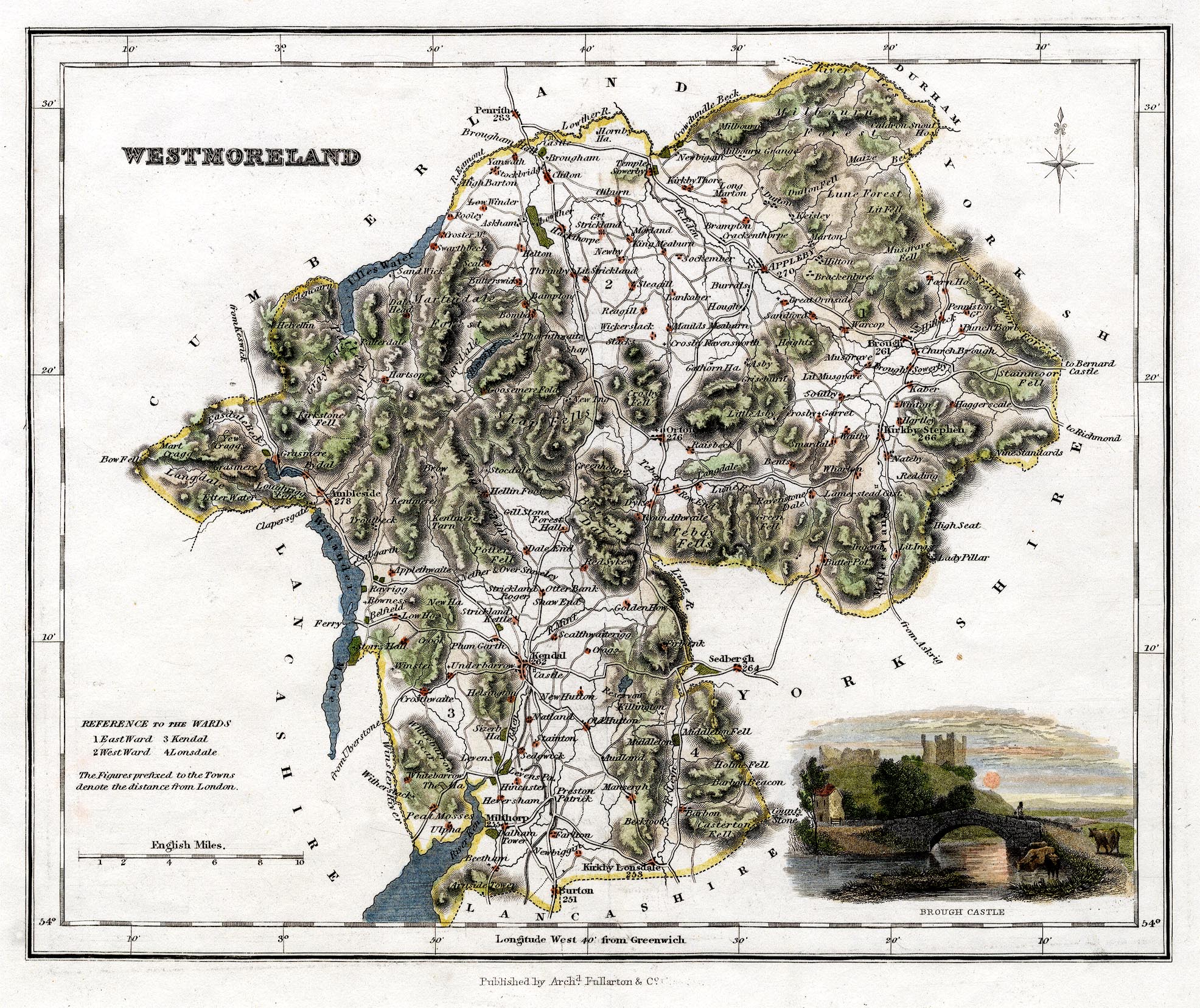
Map, hand coloured engraving, Westmoreland ie Westmorland, scale
about 5.5 miles to 1 inch, by James Bell? published by Archibald
Fullarton and Co, Glasgow, Strathclyde, about 1834.
 Lakes Guides menu.