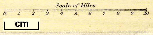
Maps, Westmorland, scale about 6 miles to 1 inch, Cumberland? and Lake District, scale about 3 miles to 1 inch, by John Bartholomew and Co, Edinburgh Geographical Institute, published by A and C Black, London, 1892. (Black 1892)
Lakes Guides menu.
 Lakes Guides menu.