item:- JandMN : 82.2
image:- © see bottom of page
 BC21.jpg
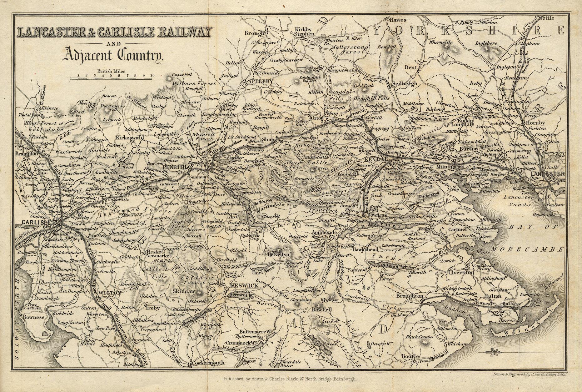
Map, Lancaster and Carlisle Railway and Adjacent Country, scale
about 7.5 miles to 1 inch, by John Bartholomew, Edinburgh,
published by Adam and Charles Black, 27 North Bridge, Edinburgh,
Lothian, about 1850-52.
 Lakes Guides menu.