item:-
JandMN : 37.18
image:-
©
see bottom of page
BA19.jpg
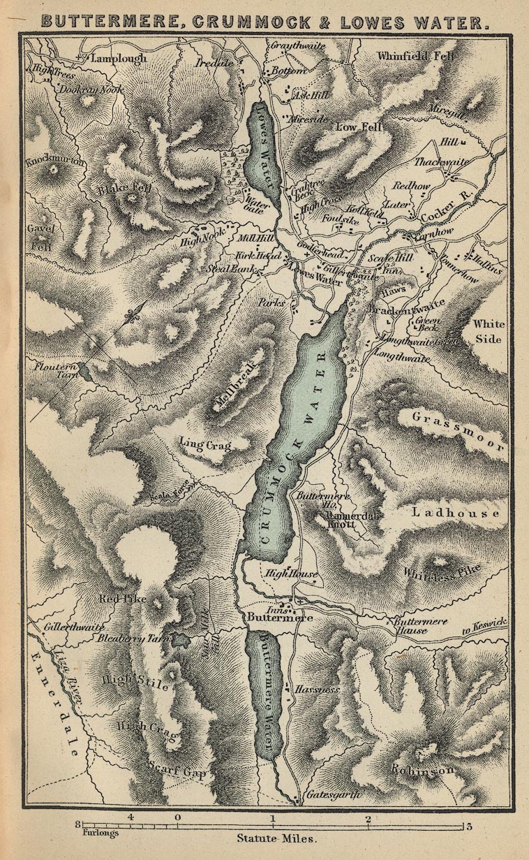
Map, Buttermere, Crummock and Lowes Water, scale about 1.5 miles to 1 inch, by John Bartholomew and Co, Edinburgh, Lothian, about 1900.
Lakes Guides menu.
 Lakes Guides menu.