item:- JandMN : 119
image:- © see bottom of page
 ARC7.jpg
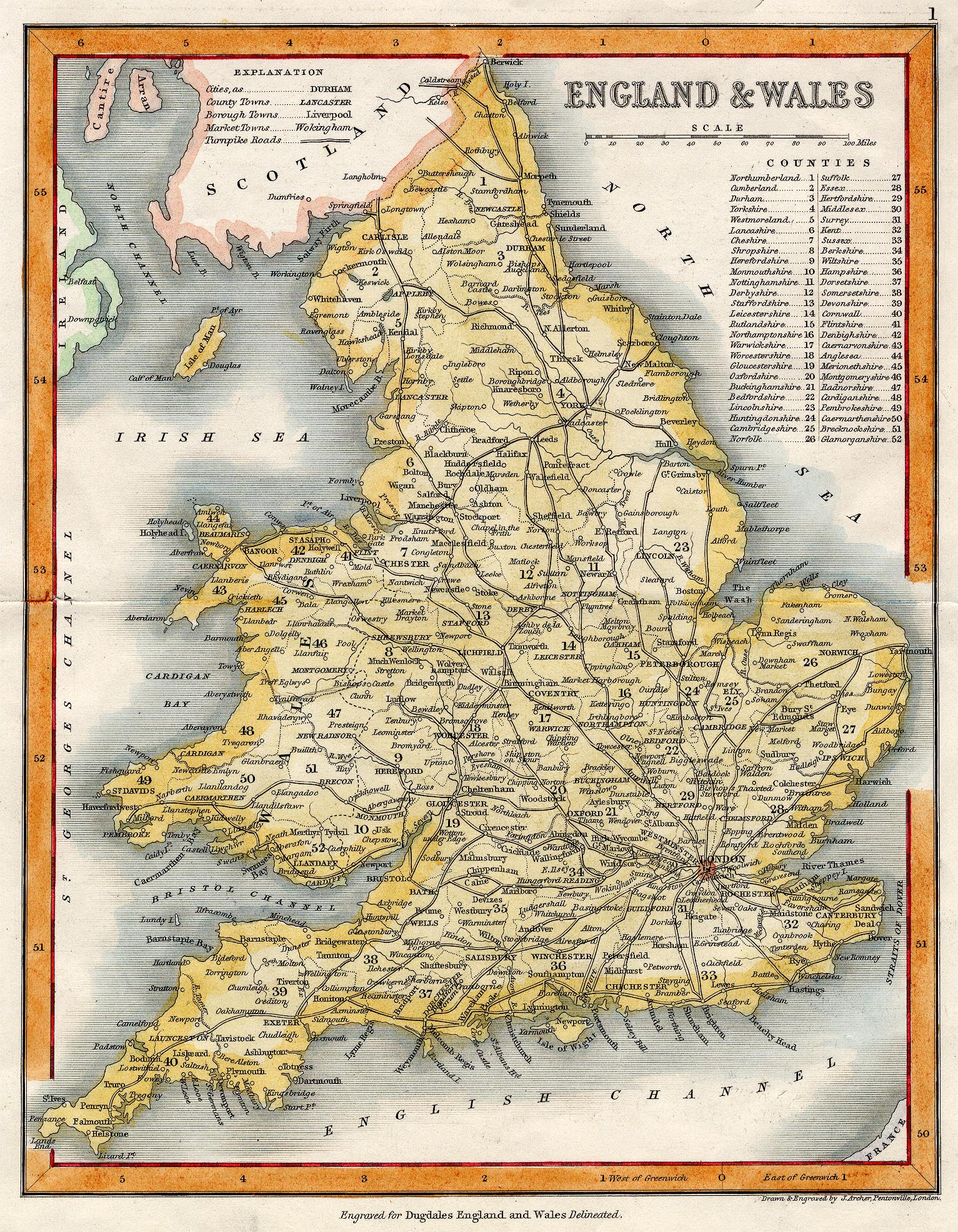
Map, hand coloured engraving, England and Wales, showing
turnpike roads, scale about 47 miles to 1 inch, by Thomas
Dugdale, drawn and engraved by J Archer, Pentonville, published
by Tallis, London, from 1835.
 Lakes Guides menu.