item:- private collection : 47
image:- © see bottom of page
 ARC6.jpg
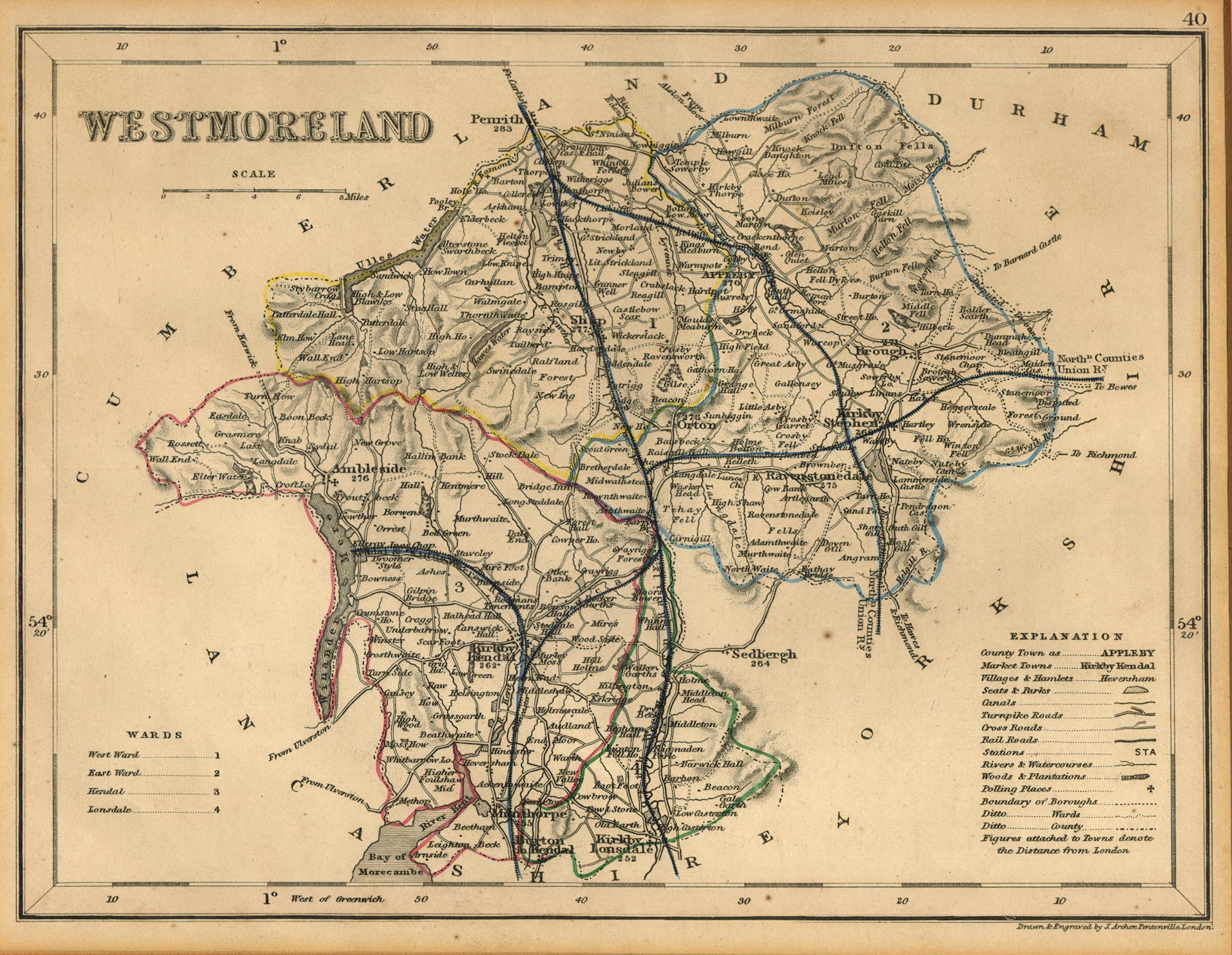
Map, hand coloured engraving, Westmoreland ie Westmorland, scale
about 5.5 miles to 1 inch, by J Archer, Pentonville, London,
about 1835, later edition with railways.
 Lakes Guides menu.