item:-
JandMN : 218
image:-
©
see bottom of page
ARC5.jpg
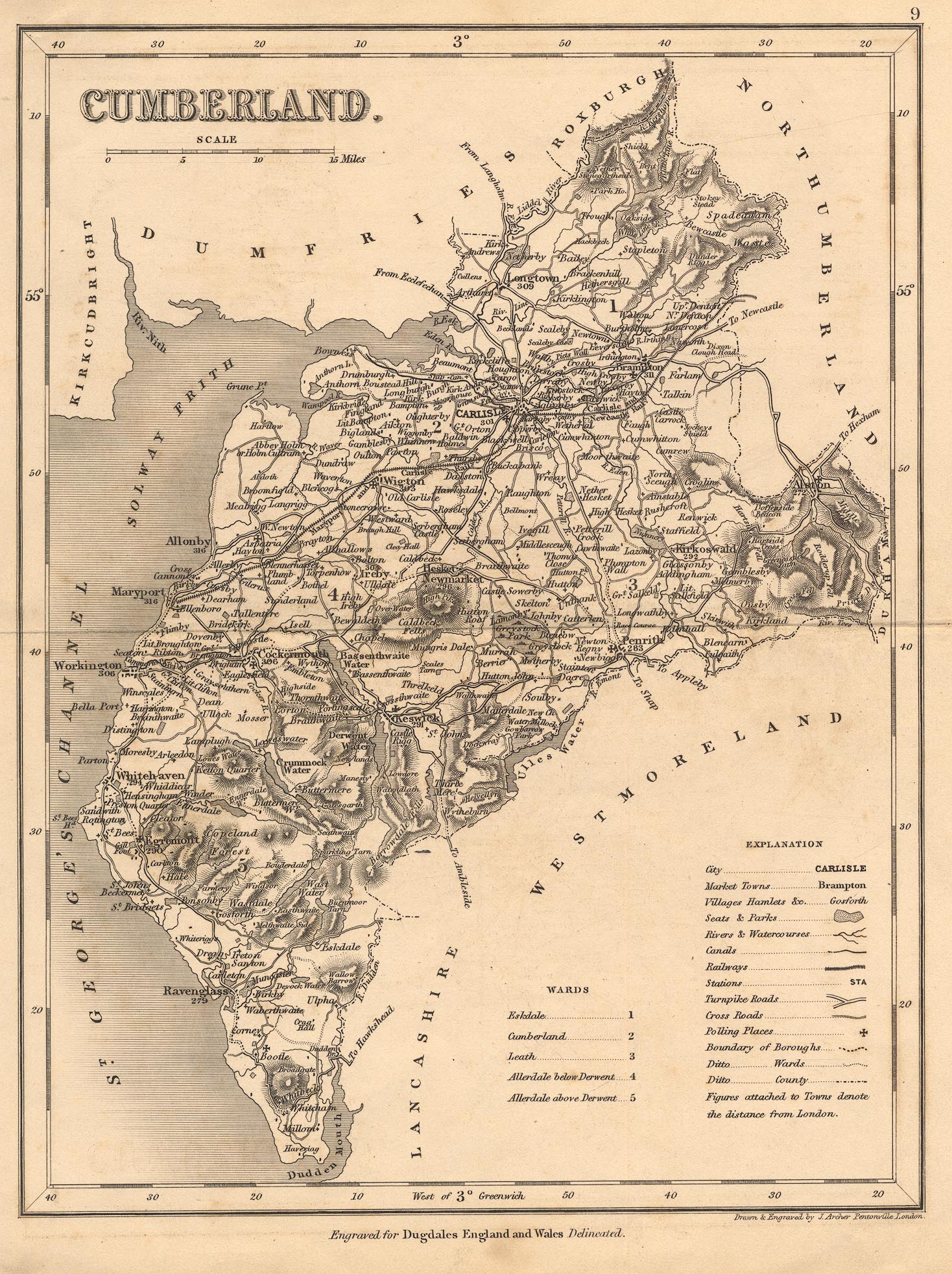
Map, uncoloured engraving, Cumberland, scale about 8.5 miles to 1 inch, by J Archer, Pentonville, London, about 1835, later edition with railways.
Lakes Guides menu.
 Lakes Guides menu.