button to main menu  Old Cumbria Gazetteer
Kirkandrews upon Eden, Beaumont
Kirkandrews upon Eden
Kirkandrews on Eden
locality:-   Hadrian's Wall
civil parish:-   Beaumont (formerly Cumberland)
county:-   Cumbria
locality type:-   locality
locality type:-   buildings
coordinates:-   NY35405837 (etc) 
1Km square:-   NY3558
10Km square:-   NY35
SummaryText:-   both spellings on the name are found on modern maps


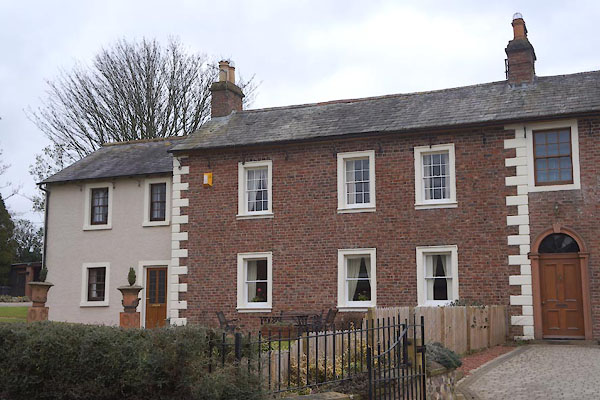
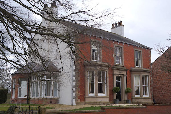
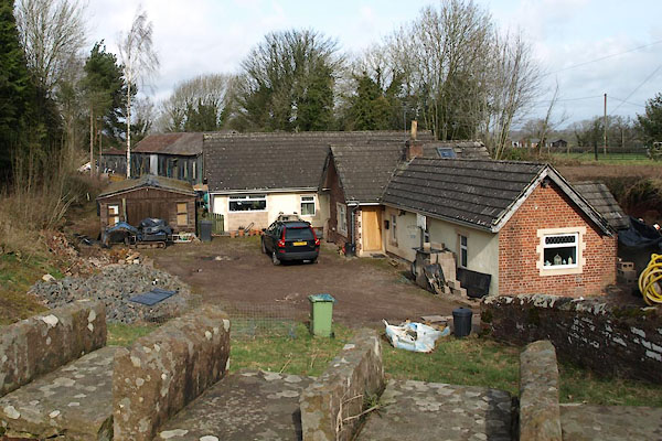
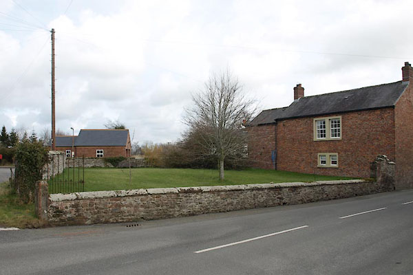
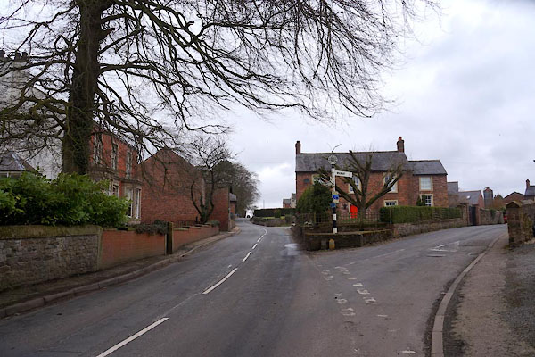
photograph
CCN86.jpg (taken 6.3.2015)  

evidence:-   old map:- OS County Series (Cmd 16 13) 
placename:-  Kirkandrews upon Eden
source data:-   Maps, County Series maps of Great Britain, scales 6 and 25 inches to 1 mile, published by the Ordnance Survey, Southampton, Hampshire, from about 1863 to 1948.

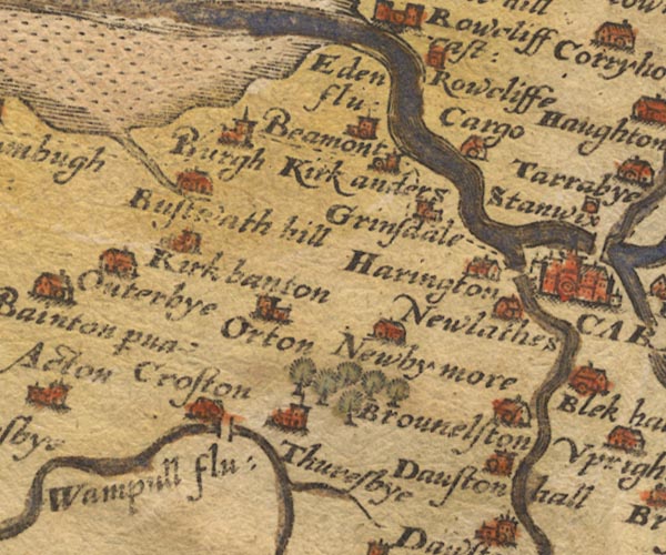
evidence:-   old map:- Saxton 1579
placename:-  Kirkanders
source data:-   Map, hand coloured engraving, Westmorlandiae et Cumberlandiae Comitatus ie Westmorland and Cumberland, scale about 5 miles to 1 inch, by Christopher Saxton, London, engraved by Augustinus Ryther, 1576, published 1579-1645.
image
Sax9NY35.jpg
Church, symbol for a parish or village, with a parish church.  "Kirkanders"
item:-  private collection : 2
Image © see bottom of page

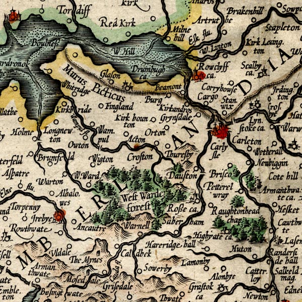
evidence:-   old map:- Mercator 1595 (edn?) 
placename:-  Kirkandros
source data:-   Map, hand coloured engraving, Northumbria, Cumberlandia, et Dunelmensis Episcopatus, ie Northumberland, Cumberland and Durham etc, scale about 6.5 miles to 1 inch, by Gerard Mercator, Duisberg, Germany, about 1595.
image
MER8CumC.jpg
"Kirkandros"
circle 
item:-  JandMN : 169
Image © see bottom of page

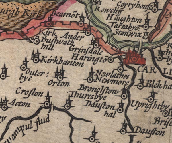
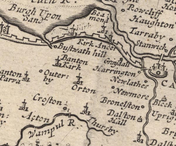
evidence:-   old map:- Speed 1611 (Cmd) 
placename:-  Kirk Ander
source data:-   Map, hand coloured engraving, Cumberland and the Ancient Citie Carlile Described, scale about 4 miles to 1 inch, by John Speed, 1610, published by J Sudbury and George Humble, Popes Head Alley, London, 1611-12.
image
SP11NY35.jpg
"Kirk Ander"
circle, building, tower 
item:-  private collection : 16
Image © see bottom of page

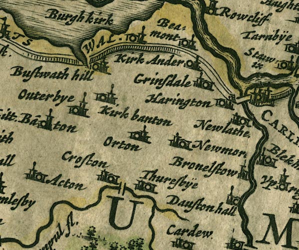
evidence:-   old map:- Jansson 1646
placename:-  Kirk Ander
source data:-   Map, hand coloured engraving, Cumbria and Westmoria, ie Cumberland and Westmorland, scale about 3.5 miles to 1 inch, by John Jansson, Amsterdam, Netherlands, 1646.
image
JAN3NY35.jpg
"Kirk Ander"
Buildings and tower. 
item:-  JandMN : 88
Image © see bottom of page

evidence:-   old map:- Morden 1695 (Cmd) 
placename:-  Kirk Ander
source data:-   Map, uncoloured engraving, Cumberland, scale about 4 miles to 1 inch, by Robert Morden, 1695, published by Abel Swale, the Unicorn, St Paul's Churchyard, Awnsham, and John Churchill, the Black Swan, Paternoster Row, London, 1695-1715.
image
MD12NY35.jpg
"Kirk Ander"
Circle, building and tower. 
item:-  JandMN : 90
Image © see bottom of page

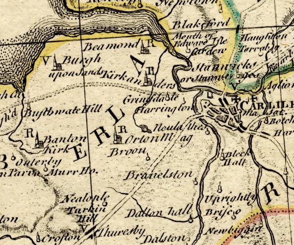
evidence:-   old map:- Bowen and Kitchin 1760
placename:-  Kirkanders
source data:-   Map, hand coloured engraving, A New Map of the Counties of Cumberland and Westmoreland Divided into their Respective Wards, scale about 4 miles to 1 inch, by Emanuel Bowen and Thomas Kitchin et al, published by T Bowles, Robert Sayer, and John Bowles, London, 1760.
image
BO18NY35.jpg
"Kirkanders / R"
circle, building and tower, rectory 
item:-  Armitt Library : 2008.14.10
Image © see bottom of page

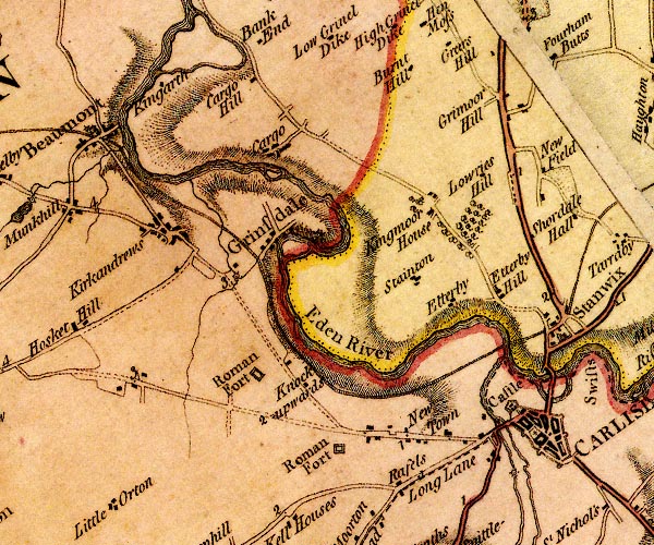
evidence:-   old map:- Donald 1774 (Cmd) 
placename:-  Kirkandrews
source data:-   Map, hand coloured engraving, 3x2 sheets, The County of Cumberland, scale about 1 inch to 1 mile, by Thomas Donald, engraved and published by Joseph Hodskinson, 29 Arundel Street, Strand, London, 1774.
image
D4NY35NE.jpg
"Kirkandrews"
block or blocks, labelled in lowercase; a hamlet or just a house 
item:-  Carlisle Library : Map 2
Image © Carlisle Library

evidence:-   old map:- Laurie and Whittle 1806
placename:-  Kirkandrews
source data:-   Road map, Completion of the Roads to the Lakes, scale about 10 miles to 1 inch, by Nathaniel Coltman? 1806, published by Robert H Laurie, 53 Fleet Street, London, 1834.
image  click to enlarge
Lw18.jpg
"Kirkandrews"
village or other place 
item:-  private collection : 18.18
Image © see bottom of page

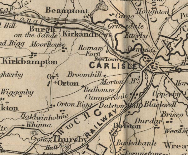
evidence:-   old map:- Ford 1839 map
placename:-  Kirkandrews
source data:-   Map, uncoloured engraving, Map of the Lake District of Cumberland, Westmoreland and Lancashire, scale about 3.5 miles to 1 inch, published by Charles Thurnam, Carlisle, and by R Groombridge, 5 Paternoster Row, London, 3rd edn 1843.
image
FD02NY35.jpg
"Kirkandrews"
item:-  JandMN : 100.1
Image © see bottom of page
places:-  
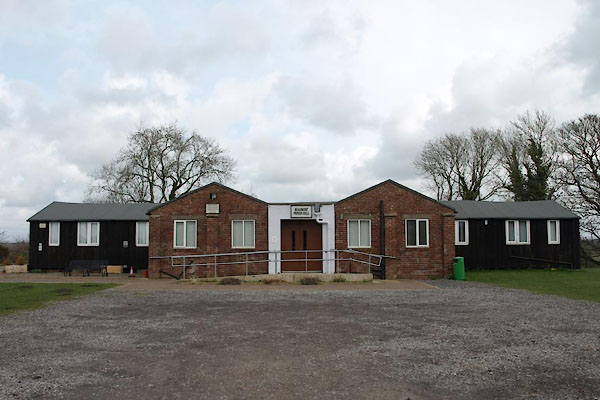
NY35295866 Beaumont Parish Hall (Beaumont)
NY35315841 Beech House (Beaumont) L
NY35325841 Beech House (Beaumont) L
NY35405840 Cottage, The (Beaumont)
NY35545833 Croft, The (Beaumont) L out of sight
NY35465831 culvert, Kirkandrews upon Eden (Beaumont)
NY35385837 Eden House (Beaumont)
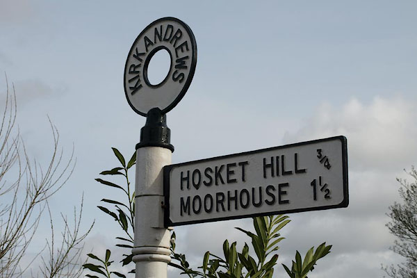
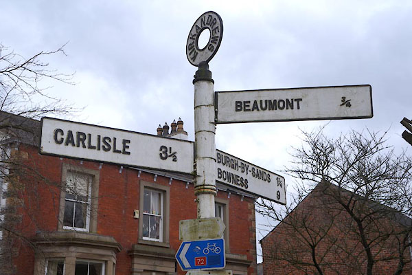
NY35205844 fingerpost, Kirkandrews upon Eden (Beaumont)
NY35505830 Hollow Creek (Beaumont) L
NY35525834 house, Kirkandrews upon Eden (Beaumont)
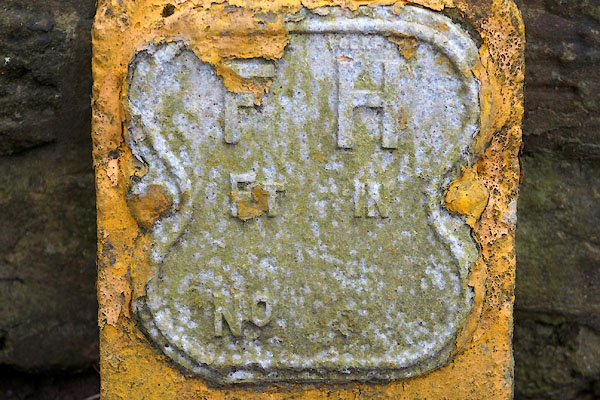
NY35395838 hydrant plate, Kirkandrews upon Eden (Beaumont)
NY35225846 Kirkandrews Station (Beaumont)
NY35465835 Manor House (Beaumont) L
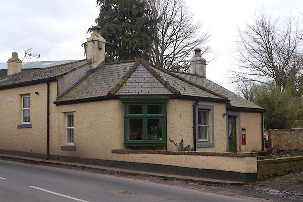
NY35475828 Old Post Office (Beaumont)
NY35365840 Green, The (Beaumont)
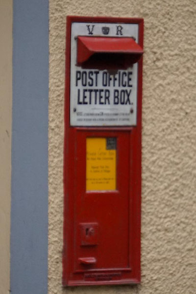
NY35465828 post box, Kirkandrews upon Eden (Beaumont)
NY35365852 Rectory, The (Beaumont)
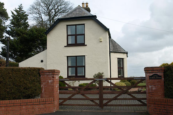
NY35245874 School House (Beaumont)
NY3459 Kirkandrews on Eden Primary School (Beaumont)
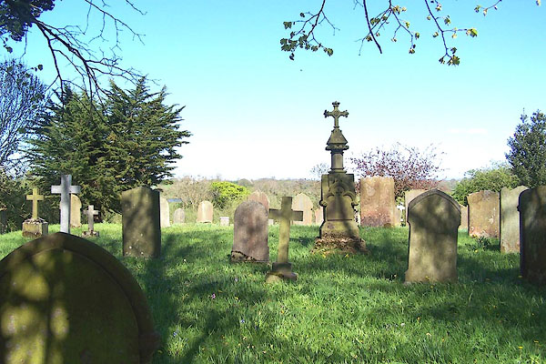
NY35375848 St Andrew, Kirkandrews upon Eden (Beaumont)
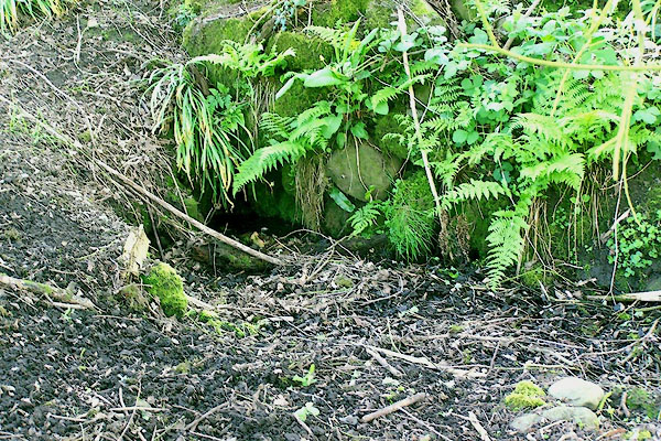
NY35395853 St Andrew's Well (Beaumont)
NY35245807 White Well (Beaumont)
NY35395838 fingerpost, Kirkandrews upon Eden (2) (Beaumont)
button to lakes menu  Lakes Guides menu.