 Old Cumbria Gazetteer
 |
 |
|
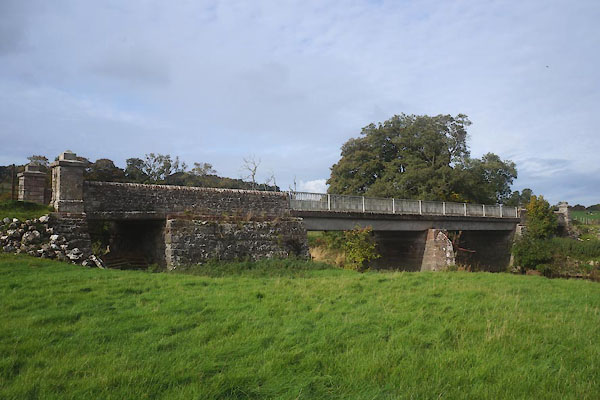
| Crookwath Bridge, Lowther | ||
| Crookwath Bridge | ||
| site name:- | Lowther, River | |
| civil parish:- | Lowther (formerly Westmorland) | |
| civil parish:- | Askham (formerly Westmorland) | |
| county:- | Cumbria | |
| locality type:- | bridge | |
| coordinates:- | NY51752225 | |
| 1Km square:- | NY5122 | |
| 10Km square:- | NY52 | |
|
|
||
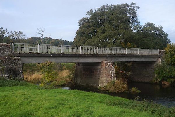 CFP89.jpg (taken 21.10.2016) 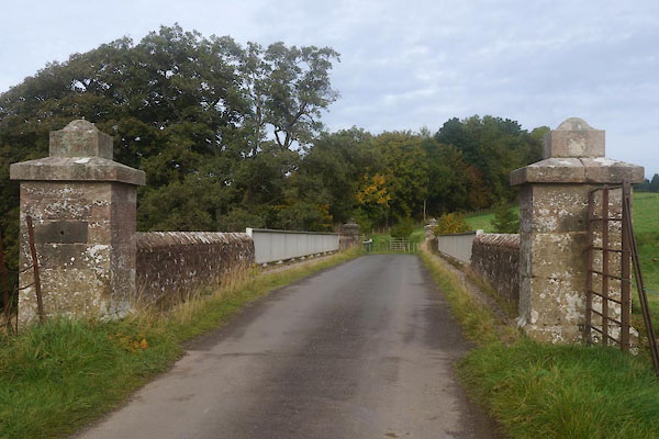 CFP90.jpg (taken 21.10.2016) |
||
|
|
||
| evidence:- | old map:- OS County Series (Wmd 7 12) placename:- Crook Wath |
|
| source data:- | Maps, County Series maps of Great Britain, scales 6 and 25
inches to 1 mile, published by the Ordnance Survey, Southampton,
Hampshire, from about 1863 to 1948. "Crook Wath (Ford) / Stepping Stones" |
|
|
|
||
| evidence:- | old map:- Cary 1789 (edn 1805) |
|
| source data:- | Map, uncoloured engraving, Westmoreland, scale about 2.5 miles
to 1 inch, by John Cary, London, 1789; edition 1805.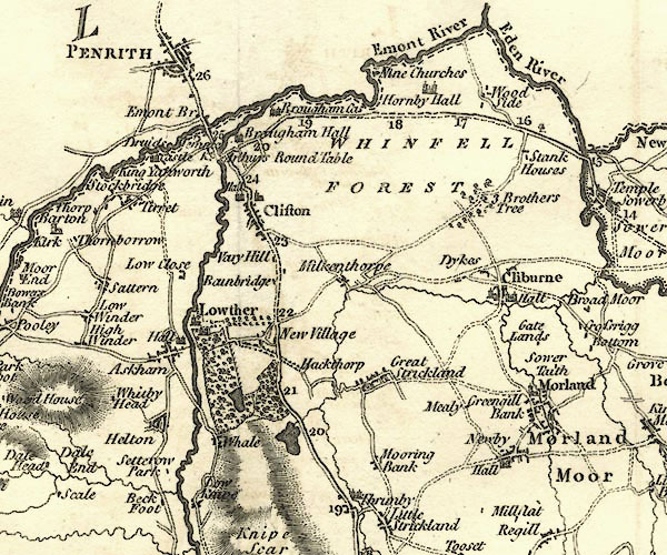 CY24NY52.jpg road across a stream; bridge item:- JandMN : 129 Image © see bottom of page |
|
|
|
||
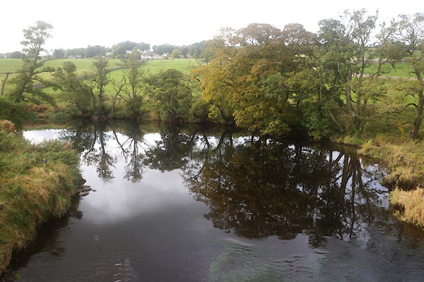 CFP91.jpg View of river. (taken 21.10.2016) |
||
|
|
||
 CFP88.jpg (taken 21.10.2016) |
||
|
|
||
 Lakes Guides menu.