 Jefferys 1770 SD47NW

|

|
|
|
gazetteer links places may or may not be labelled on the map |
||

|
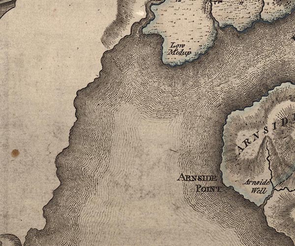
-- Arnside Point -- "ARNSIDE POINT" |
|
|
|
-- Kent Estuary -- "KENT RIVER" |
|
|
|
-- Low Meathop -- "Low Medup" |
|
|
|
-- Winster, River -- "Witherslack B." |
|
|
civil parishes The area roughly includes parts of parishes:- Meathop and Ulpha Grange-over-Sands Broughton East Arnside Lower Allithwaite |
||
|
counties The area includes parts of counties:- Lancashire |
||
|
|
||
|
|
Lakes Guides menu. | |