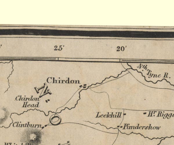
 Ford 1839 map NY78


|

|
|
|
gazetteer links places may or may not be labelled on the map |
||

|
-- Chirdon -- "Chirdon" |
|
|
|
-- Chirdonhead -- "Chirdon Head" |
|
|
|
-- Clintburn -- "Clintburn" |
|
|
|
-- High Ridge -- "Hr. Riggs" |
|
|
|
-- Leekhill -- "Leekhill" |
|
|
|
-- North Tyne, River -- "Nth. Tyne R." |
|
|
|
-- Pundershaw -- "Pimdershow" |
|
|
counties The area includes parts of counties:- Northumberland |
||
|
|
||
|
|
Lakes Guides menu. | |