 Old Cumbria Gazetteer
 |
 |
|
| Dry Gills, Caldbeck | ||
| runs into:- |  Drygill Beck Drygill Beck |
|
|
|
||
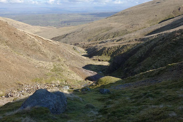
| Dry Gills | ||
| locality:- | Carrock Fell | |
| locality:- | Caldbeck Fells | |
| civil parish:- | Caldbeck (formerly Cumberland) | |
| county:- | Cumbria | |
| locality type:- | valley | |
| locality type:- | river | |
| coordinates:- | NY32223450 (etc) | |
| 1Km square:- | NY3234 | |
| 10Km square:- | NY33 | |
|
|
||
 CAA73.jpg (taken 3.3.2014) |
||
|
|
||
| evidence:- | old map:- OS County Series (Cmd 47 12) placename:- Dry Gills |
|
| source data:- | Maps, County Series maps of Great Britain, scales 6 and 25
inches to 1 mile, published by the Ordnance Survey, Southampton,
Hampshire, from about 1863 to 1948. |
|
|
|
||
Lakes Guides menu.