 Old Cumbria Gazetteer
 |
 |
|
| Lound Wharf, Lancaster Canal | ||
| Lound Wharf | ||
| site name:- | Lancaster Canal | |
| locality:- | Lound, The | |
| locality:- | Little Lounds | |
| locality:- | Kendal | |
| civil parish:- | Kendal (formerly Westmorland) | |
| county:- | Cumbria | |
| locality type:- | canal wharf | |
| locality type:- | coal depot | |
| coordinates:- | SD52019177 (about) | |
| 1Km square:- | SD5291 | |
| 10Km square:- | SD59 | |
|
|
||
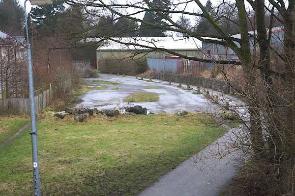 CFV40.jpg (taken 20.2.2017) |
||
|
|
||
| evidence:- | old map:- OS County Series (Wmd 38 8) placename:- Lound Wharf |
|
| source data:- | Maps, County Series maps of Great Britain, scales 6 and 25
inches to 1 mile, published by the Ordnance Survey, Southampton,
Hampshire, from about 1863 to 1948. "Lound Wharf" "Coal Depot" |
|
|
|
||
| notes:- |
Built 1818. Handled coal and for a nearby ironfoundry. |
|
|
|
||
 Lakes Guides menu.