 Old Cumbria Gazetteer
 |
 |
|
| ford, Kingwater | ||
| site name:- | King Water | |
| locality:- | West Hall | |
| civil parish:- | Kingwater (formerly Cumberland) | |
| county:- | Cumbria | |
| locality type:- | ford | |
| locality type:- | footbridge | |
| coordinates:- | NY56686743 | |
| 1Km square:- | NY5667 | |
| 10Km square:- | NY56 | |
|
|
||
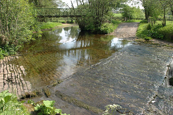 BSW44.jpg (taken 4.6.2010) 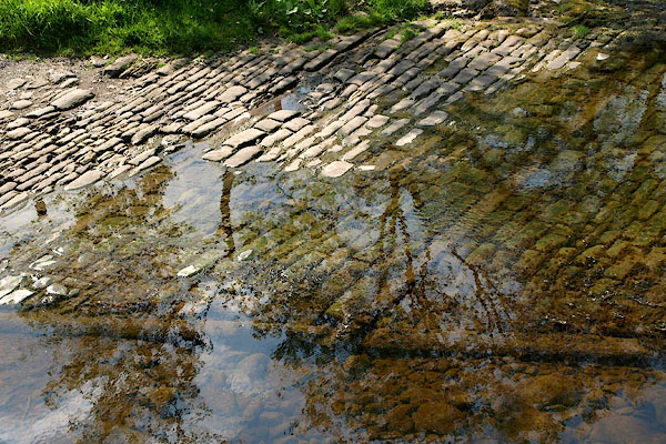 BSW45.jpg (taken 4.6.2010) |
||
|
|
||
| evidence:- | old map:- OS County Series (Cmd 12 6) |
|
| source data:- | Maps, County Series maps of Great Britain, scales 6 and 25
inches to 1 mile, published by the Ordnance Survey, Southampton,
Hampshire, from about 1863 to 1948. "Ford / Foot Bridge" |
|
|
|
||
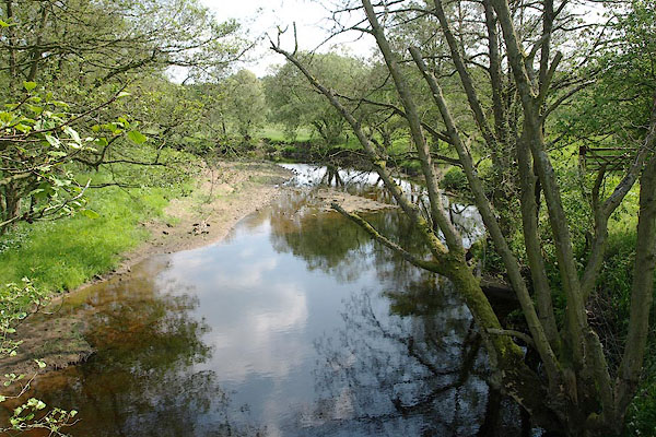 BSW49.jpg View of river. (taken 4.6.2010) |
||
|
|
||
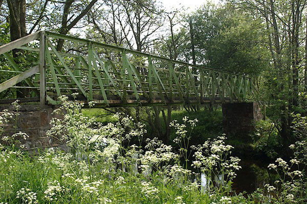 BSW46.jpg Footbridge. (taken 4.6.2010) 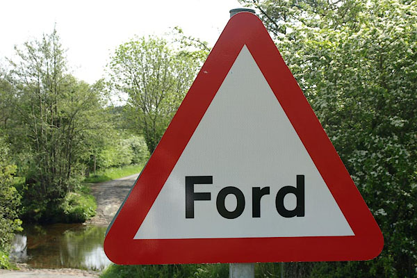 BSW47.jpg Roadsign:- "Ford" (taken 4.6.2010) 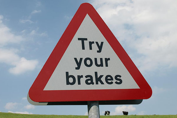 BSW48.jpg Roadsign:- "Try / Your / Brakes" (taken 4.6.2010) |
||
|
|
||
 Lakes Guides menu.