 Old Cumbria Gazetteer
 |
 |
|
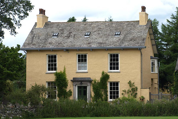
| Fairfield, Cartmel | ||
| Fairfield | ||
| Street:- | Priest Lane | |
| locality:- | Cartmel | |
| civil parish:- | Lower Allithwaite (formerly Lancashire) | |
| county:- | Cumbria | |
| locality type:- | buildings | |
| coordinates:- | SD37877897 | |
| 1Km square:- | SD3778 | |
| 10Km square:- | SD37 | |
| references:- | Listed Buildings 2010 |
|
|
|
||
 BZB24.jpg (taken 9.8.2013) |
||
|
|
||
| evidence:- | old map:- OS County Series (Lan 17 3) placename:- Fairfield |
|
| source data:- | Maps, County Series maps of Great Britain, scales 6 and 25
inches to 1 mile, published by the Ordnance Survey, Southampton,
Hampshire, from about 1863 to 1948. |
|
|
|
||
| evidence:- | database:- Listed Buildings 2010 placename:- Fairfield |
|
| source data:- | courtesy of English Heritage "FAIRFIELD / / PRIEST LANE / LOWER ALLITHWAITE / SOUTH LAKELAND / CUMBRIA / II / 459641 / SD3787778972" |
|
|
|
||
 Lakes Guides menu.