 Old Cumbria Gazetteer
 |
 |
|
| Vicarage, Dearham | ||
| locality:- | Dearham | |
| civil parish:- | Dearham (formerly Cumberland) | |
| county:- | Cumbria | |
| locality type:- | buildings | |
| coordinates:- | NY07243635 | |
| 1Km square:- | NY0736 | |
| 10Km square:- | NY03 | |
|
|
||
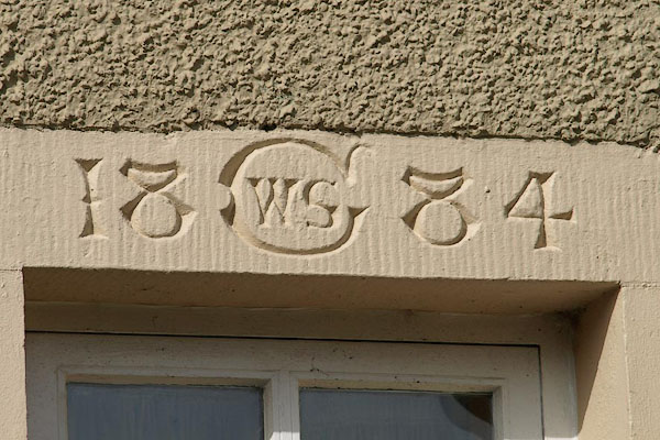 BOU25.jpg Date stone:- "18 C WS 84" (taken 14.3.2008) |
||
|
|
||
| evidence:- | old map:- OS County Series (Cmd 45 6) placename:- Vicarage, The |
|
| source data:- | Maps, County Series maps of Great Britain, scales 6 and 25
inches to 1 mile, published by the Ordnance Survey, Southampton,
Hampshire, from about 1863 to 1948. |
|
|
|
||
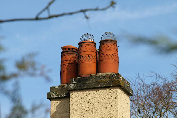 BOU26.jpg Chimney pots on The Vicarage. (taken 14.3.2008) |
||
|
|
||
 Lakes Guides menu.