 Old Cumbria Gazetteer
 |
 |
|
| Lorton Primary School, High Lorton | ||
| Lorton Primary School | ||
| Lorton General School | ||
| High Lorton School | ||
| locality:- | High Lorton | |
| civil parish:- | Lorton (formerly Cumberland) | |
| county:- | Cumbria | |
| locality type:- | school | |
| coordinates:- | NY15922558 | |
| 1Km square:- | NY1525 | |
| 10Km square:- | NY12 | |
| references:- | OS County Series |
|
|
|
||
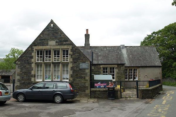 BUP84.jpg (taken 27.5.2011) 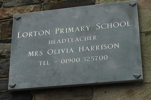 BUP85.jpg School sign. (taken 27.5.2011) |
||
|
|
||
| evidence:- | old map:- OS County Series (Cmd 55 14) |
|
| source data:- | Maps, County Series maps of Great Britain, scales 6 and 25
inches to 1 mile, published by the Ordnance Survey, Southampton,
Hampshire, from about 1863 to 1948. "Endowed School" |
|
|
|
||
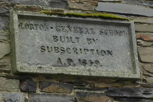 BUP86.jpg Plaque:- "LORTON GENERAL SCHOOL / BUILT BY / SUBSCRIPTION / A.D. 1859." (taken 27.5.2011) 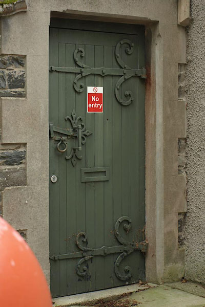 BUP89.jpg An old door. (taken 27.5.2011) |
||
|
|
||
 Lakes Guides menu.