 Old Cumbria Gazetteer
 |
 |
|
| Red Dell Fold, Coniston | ||
| locality:- | Red Dell Beck | |
| locality:- | Red Dell | |
| locality:- | Coniston Fells | |
| civil parish:- | Coniston (formerly Lancashire) | |
| county:- | Cumbria | |
| locality type:- | sheepfold | |
| coordinates:- | SD28619980 | |
| 1Km square:- | SD2899 | |
| 10Km square:- | SD29 | |
| references:- | OS County Series |
|
|
|
||
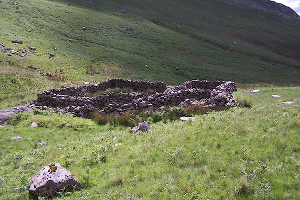 BWU50.jpg (taken 18.6.2012) 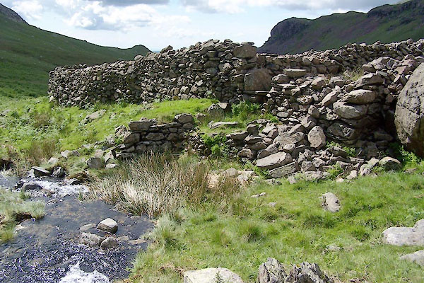 BWU54.jpg The wash dam area. (taken 18.6.2012) |
||
|
|
||
| evidence:- | old map:- OS County Series (Cmd 80) placename:- Red Dell Fold, The |
|
| source data:- | Maps, County Series maps of Great Britain, scales 6 and 25
inches to 1 mile, published by the Ordnance Survey, Southampton,
Hampshire, from about 1863 to 1948. "Washing Dam / The Red Dell Fold" |
|
|
|
||
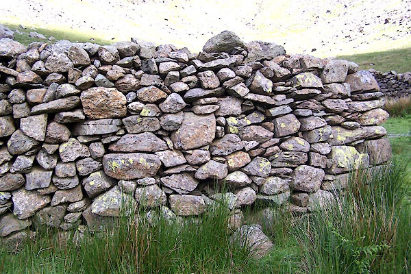 BWU51.jpg Walling. (taken 18.6.2012) 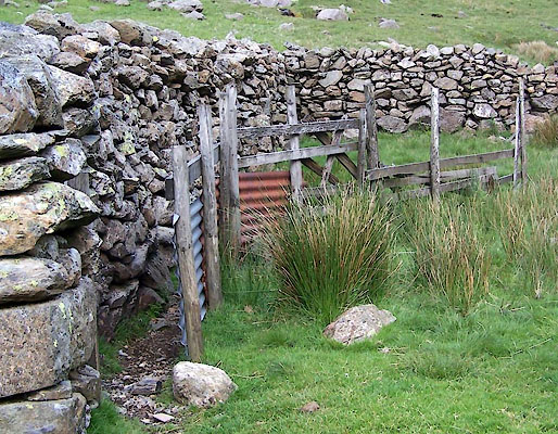 BWU52.jpg (taken 18.6.2012) 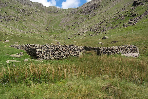 BWU53.jpg (taken 18.6.2012) |
||
|
|
||
 Lakes Guides menu.