 Old Cumbria Gazetteer
 |
 |
|
| Backbarrow Bridge, Backbarrow | ||
| Backbarrow Bridge | ||
| site name:- | Leven, River | |
| locality:- | Backbarrow | |
| civil parish:- | Haverthwaite (formerly Lancashire) | |
| county:- | Cumbria | |
| locality type:- | bridge | |
| coordinates:- | SD35588493 | |
| 1Km square:- | SD3584 | |
| 10Km square:- | SD38 | |
|
|
||
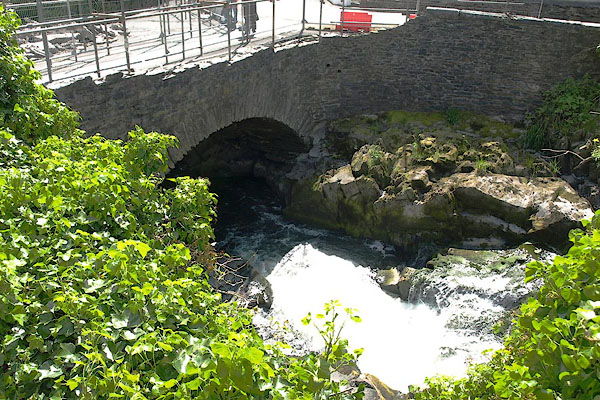 BSU75.jpg During repairs after flood damage. (taken 28.5.2010) |
||
|
|
||
| evidence:- | old map:- OS County Series (Lan 12 2) placename:- Backbarrow Bridge |
|
| source data:- | Maps, County Series maps of Great Britain, scales 6 and 25
inches to 1 mile, published by the Ordnance Survey, Southampton,
Hampshire, from about 1863 to 1948. |
|
|
|
||
| evidence:- | database:- Listed Buildings 2010 placename:- Backbarrow Bridge |
|
| source data:- | courtesy of English Heritage "BACKBARROW BRIDGE / / / HAVERTHWAITE / SOUTH LAKELAND / CUMBRIA / II / 421785 / SD3558684938" |
|
| source data:- | courtesy of English Heritage "Bridge over river Leven. C17 or C18, with later widening. Stone rubble with limestone coping. Segmental arch, slightly pointed to south, and straight parapet. Plaque to north side records flood level of 3rd November 1898." |
|
|
|
||
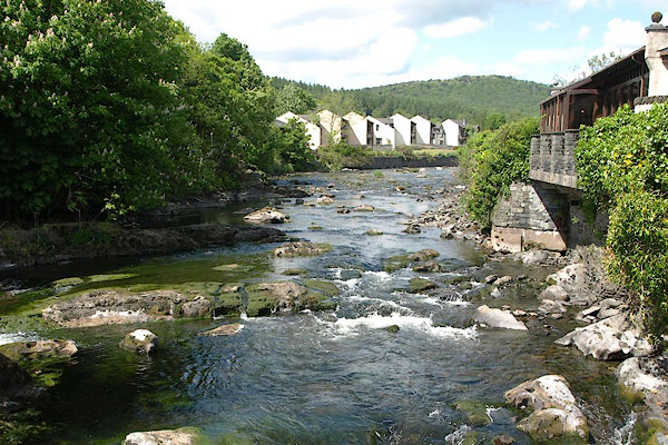 BSU77.jpg View of river. (taken 28.5.2010) 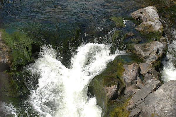 BSU76.jpg View of river. (taken 28.5.2010) |
||
|
|
||
 Lakes Guides menu.